

- Usage in publication:
-
- Wilshire Till Member
- Modifications:
-
- Named
- Dominant lithology:
-
- Till
- Loam
- AAPG geologic province:
-
- Cincinnati arch
Summary:
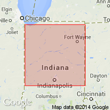
Wilshire Till Member of Jessup Formation here defined in east-central IN. Occurs in the subsurface of easternmost Marion valley. Described as a gray loam till of eastern-source mineralogy. Interfingers with the eastern ice-proximal facies of the Blackford Member (new name). Is correlated with till at St. Marys, OH, based on drillers' description, position, and log character.
Source: GNU records (USGS DDS-6; Reston GNULEX).
For more information, please contact Nancy Stamm, Geologic Names Committee Secretary.
Asterisk (*) indicates published by U.S. Geological Survey authors.
"No current usage" (†) implies that a name has been abandoned or has fallen into disuse. Former usage and, if known, replacement name given in parentheses ( ).
Slash (/) indicates name conflicts with nomenclatural guidelines (CSN, 1933; ACSN, 1961, 1970; NACSN, 1983, 2005, 2021). May be explained within brackets ([ ]).