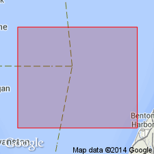
- Usage in publication:
-
- Wilmette Bed*
- Modifications:
-
- Revised
- AAPG geologic province:
-
- Michigan basin
Summary:
Assigned to informal lower unit of Lake Michigan Formation. Overlies Two Rivers Till and is separated from that till by several meters of glaciolacustrine clay. Wilmette is truncated by Chippewa unconformity. Wilmette Bed was probably deposited between 11.2 and 10.3 ka, most likely between 11.0 and 10.5 ka during first half of Moorhead phase of glacial Lake Agassiz.
Source: GNU records (USGS DDS-6; Reston GNULEX).
For more information, please contact Nancy Stamm, Geologic Names Committee Secretary.
Asterisk (*) indicates published by U.S. Geological Survey authors.
"No current usage" (†) implies that a name has been abandoned or has fallen into disuse. Former usage and, if known, replacement name given in parentheses ( ).
Slash (/) indicates name conflicts with nomenclatural guidelines (CSN, 1933; ACSN, 1961, 1970; NACSN, 1983, 2005, 2021). May be explained within brackets ([ ]).

