- Usage in publication:
-
- Wills Creek formation
- Modifications:
-
- Named
- Dominant lithology:
-
- Shale
- Sandstone
- AAPG geologic province:
-
- Appalachian basin
Summary:
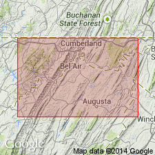
Named the Wills Creek formation in MD, VA, and PA for exposures on Wills Creek at Cumberland, Allegany Co., MD. Consists of yellowish weathering, black shales, argillaceous and calcareous shales with thin layers of dark purple sandstone and 2 feet of coarse, dark purple nonfossiliferous sandstone at base. Thickness is about 150 ft. Unit overlies Water Lime and underlies the lower part of the Helderberg. The Wills Creek is of Silurian age.
Source: GNU records (USGS DDS-6; Reston GNULEX).
- Usage in publication:
-
- Wills Creek formation*
- Modifications:
-
- Revised
- AAPG geologic province:
-
- Appalachian basin
Summary:
Revised the Wills Creek formation as part of the Cayuga series [Group]. The Wills Creek is the middle formation of the Cayugan; it overlies the Bloomsburg sandstone and underlies the Tonoloway limestone in PA and MD.
Source: GNU records (USGS DDS-6; Reston GNULEX).
- Usage in publication:
-
- Wills Creek shale*
- Modifications:
-
- Revised
- AAPG geologic province:
-
- Appalachian basin
Summary:
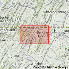
Revised the Wills Creek to the Wills Creek shale in MD and PA because the unit is chiefly greenish shale with some greenish sandstone and limestone. Author includes the Bloomsburg red sandstone member at the base of the Wills Creek; therefore, total thickness of Wills Creek is 445 ft (Bloomsburg, 52-80 ft). Unit overlies the McKenzie formation and underlies the Tonoloway limestone. The Wills Creek is of Silurian age.
Source: GNU records (USGS DDS-6; Reston GNULEX).
- Usage in publication:
-
- Wills Creek limestone
- Modifications:
-
- Areal extent
- Revised
- AAPG geologic province:
-
- Appalachian basin
Summary:
Geographically extended the Wills Creek to WV and revised it to the Wills Creek limestone. This unit was previously called the "Rondout limestone." Thickness of the Wills Creek is 54 to 458 ft. Unit overlies the Bloomsburg facies of the Williamsport sandstone and underlies the Tonoloway limestone. The Wills Creek is of Late Silurian age.
Source: GNU records (USGS DDS-6; Reston GNULEX).
- Usage in publication:
-
- Wills Creek Formation
- Modifications:
-
- Revised
- AAPG geologic province:
-
- Appalachian basin
Summary:
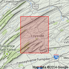
The Wills Creek Formation in PA is revised to include the Landisburg Tongue. The Landisburg Tongue, at the base of the upper member, consists of interbedded red and grayish green siltstone and sandstone. The remainder of the formation consists of interbedded, medium gray, calcareous shale, limestone, and olive gray, somewhat calcareous siltstone. Unit overlies the Bloomsburg Formation and abruptly underlies the Tonoloway Limestone.
Source: GNU records (USGS DDS-6; Reston GNULEX).
- Usage in publication:
-
- Wills Creek Formation
- Modifications:
-
- Overview
- AAPG geologic province:
-
- Appalachian basin
Summary:
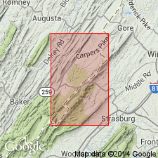
The Wills Creek Formation in WV consists of 200 to 400 ft of heterogeneous lithologies including friable sandstone, nonfissile shale, and thin-bedded limestone. Unit overlies the Bloomsburg Formation and underlies the Tonoloway Limestone. The Wills Creek is sparsely fossiliferous.
Source: GNU records (USGS DDS-6; Reston GNULEX).
- Usage in publication:
-
- Wills Creek Formation
- Modifications:
-
- Overview
- AAPG geologic province:
-
- Appalachian basin
Summary:
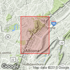
The Wills Creek extends throughout the Valley and Ridge province from east-central PA to western VA. Unit consists of a lower limestone-shale sequence and an upper cyclic dolomite-siltstone sequence. Lower contact with the Bloomsburg is conformable and sharp. Upper contact with the Tonoloway is probably conformable. Thickness was calculated from dip and map-pattern widths in Scotch Valley and near Pinecroft at 135+/-15 m. Age is Late Silurian.
Source: GNU records (USGS DDS-6; Reston GNULEX).
- Usage in publication:
-
- Wills Creek Formation*
- Modifications:
-
- Biostratigraphic dating
- AAPG geologic province:
-
- Appalachian basin
Summary:
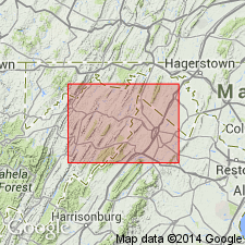
Conodont biostratigraphy indicates that the Wills Creek Formation in the Winchester 30 X 60 minute quadrangle is of Late Silurian (Ludlovian) age. One sample near the middle of the unit produced conodonts indicative of the OZARKODINA SNAJDRI CRISPA Zone.
Source: GNU records (USGS DDS-6; Reston GNULEX).
For more information, please contact Nancy Stamm, Geologic Names Committee Secretary.
Asterisk (*) indicates published by U.S. Geological Survey authors.
"No current usage" (†) implies that a name has been abandoned or has fallen into disuse. Former usage and, if known, replacement name given in parentheses ( ).
Slash (/) indicates name conflicts with nomenclatural guidelines (CSN, 1933; ACSN, 1961, 1970; NACSN, 1983, 2005, 2021). May be explained within brackets ([ ]).

