The National Geologic Map Database is migrating to a new infrastructure. We apologize for any service disruptions during this process.
|
|---|


- Usage in publication:
-
- Willow Tank formation*
- Modifications:
-
- Named
- Dominant lithology:
-
- Conglomerate
- AAPG geologic province:
-
- Great Basin province
Summary:
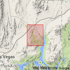
Named for exposures near Willow Tank about 5 mi southeast of Overton, Clark Co, NV in the Great Basin province. These exposures are designated the type section. Mapped (geologic map) as a unit unconformably above Aztec sandstone (Jurassic) and below the newly named Baseline sandstone (Upper Cretaceous). Ranges from 0 to 300+/-ft thick. Has a basal (0-30+/-ft thick) coarse conglomerate of well-rounded boulders as large as 10 to 12 inches [in diameter]. The overlying part of the formation consists of fine-grained deposits --buff to gray bentonitic clay and some layers of tuffaceous sandstone. Silicified wood, TEMPSKYA, UNIO; fossils listed. Assigned a Late Cretaceous age. Cross sections. Stratigraphic chart.
Source: GNU records (USGS DDS-6; Denver GNULEX).
- Usage in publication:
-
- Willow Tank Formation*
- Modifications:
-
- Areal extent
- AAPG geologic province:
-
- Plateau sedimentary province
Summary:
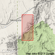
Extended from Muddy Mountains, Clark Co, NV into northwest Mohave Co, AZ, Plateau sedimentary province. Replaces Jacobs Ranch Formation. Unconformably overlies Navajo Sandstone; unconformably underlies lower conglomerate unit of Rainbow Gardens Member of Horse Spring Formation. Thickness is 60 m. Early Cretaceous age.
Source: GNU records (USGS DDS-6; Denver GNULEX).
For more information, please contact Nancy Stamm, Geologic Names Committee Secretary.
Asterisk (*) indicates published by U.S. Geological Survey authors.
"No current usage" (†) implies that a name has been abandoned or has fallen into disuse. Former usage and, if known, replacement name given in parentheses ( ).
Slash (/) indicates name conflicts with nomenclatural guidelines (CSN, 1933; ACSN, 1961, 1970; NACSN, 1983, 2005, 2021). May be explained within brackets ([ ]).