

- Usage in publication:
-
- Willow Springs Formation
- Modifications:
-
- First used
- Dominant lithology:
-
- Gravel
- AAPG geologic province:
-
- Plateau sedimentary province
Summary:
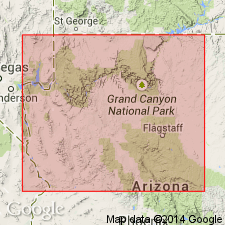
First published use of name. Shown on two cross sections: 1) Milkweed Canyon, Hualapai Plateau, Mohave Co, AZ, where it is the highest unit in the Grand Canyon of the Colorado River above some unnamed lava flows; and 2) Peach Springs Canyon to east of Milkweed Canyon, Hualapai Plateau, Mohave Co, where it is the highest unit in the Grand Canyon of the Colorado River above the Hualapai volcanics on the northwest and above Devonian rocks on the southeast side. Thought to be an extensive gravel deposit on the Hualapai Plateau in the Plateau sedimentary province and younger than the Colorado River. [No further lithologic description, intent to name, selection of type, description of contacts, thickness included.] Cenozoic in age.
Source: GNU records (USGS DDS-6; Denver GNULEX).
- Usage in publication:
-
- Willow Springs Formation
- Modifications:
-
- Age modified
- Overview
- AAPG geologic province:
-
- Plateau sedimentary province
Summary:
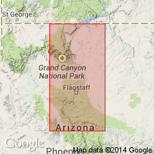
Exposed near Willow Springs [for which unit was probably named] on north side of Milkweed Canyon which is on Hualapai Plateau in western Grand Canyon, Mohave Co, AZ, Plateau sedimentary province. Unit is most extensive gravel deposit on Hualapai Plateau. Overlies Hualapai Volcanics (first used); underlies Robbers Roost Gravels. Twenter (1962, USGS Water-Supply Paper 1576-A) identified fossils of Pleistocene? age in upper part of unit in Truxton Valley south of Peach Springs Canyon. However, on correlation chart (fig. 17) author assigns Pliocene age to Willow Springs. [Age assignment probably made in part on 18.3 m.y. age (Miocene) determined by Damon (1964) on underlying Hualapai Volcanics.]
Source: GNU records (USGS DDS-6; Denver GNULEX).
For more information, please contact Nancy Stamm, Geologic Names Committee Secretary.
Asterisk (*) indicates published by U.S. Geological Survey authors.
"No current usage" (†) implies that a name has been abandoned or has fallen into disuse. Former usage and, if known, replacement name given in parentheses ( ).
Slash (/) indicates name conflicts with nomenclatural guidelines (CSN, 1933; ACSN, 1961, 1970; NACSN, 1983, 2005, 2021). May be explained within brackets ([ ]).