The National Geologic Map Database is migrating to a new infrastructure. We apologize for any service disruptions during this process.
|
|---|


- Usage in publication:
-
- Wild Goose Grits
- Modifications:
-
- Overview
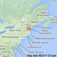
- AAPG geologic province:
-
- New England province
Summary:
At the base of the Littleton in the Alton quad, southeastern NH, is a thin, coarse-grained grit or conglomerate with gray and rusty-weathering lithic fragments of the Smalls Falls Formation, informally named the Wild Goose Grits by Eusden and others (1987). Unit represents a basal Littleton transgressive deposit on a disconformity. Littleton may have been 2.5 km thick in this area before erosion. The Wild Goose Grits are 100 to 300 m thick. Early Devonian Littleton is top of known Paleozoic sequence. Overlies Madrid Formation.
Source: GNU records (USGS DDS-6; Reston GNULEX).
For more information, please contact Nancy Stamm, Geologic Names Committee Secretary.
Asterisk (*) indicates published by U.S. Geological Survey authors.
"No current usage" (†) implies that a name has been abandoned or has fallen into disuse. Former usage and, if known, replacement name given in parentheses ( ).
Slash (/) indicates name conflicts with nomenclatural guidelines (CSN, 1933; ACSN, 1961, 1970; NACSN, 1983, 2005, 2021). May be explained within brackets ([ ]).