- Usage in publication:
-
- Wiggins formation
- Modifications:
-
- Named
- Dominant lithology:
-
- Tuff
- Conglomerate
- AAPG geologic province:
-
- Wind River basin
Summary:
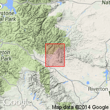
Named for Wiggins River in southwest part of area from Ts 42 and 41N, Rs 105 and 106W, Fremont Co, WY in Wind River basin. Varies greatly in lithology; no "standard" section designated. Partial measured section in sec 20, T44N, R104W described. Is confined to higher portions of Absaroka Range and throughout northern part of region, seldom below el of 10,400 ft. Estimated to be 3000 ft thick in vicinity of Brown Rock Canyon; is about 1700 ft thick on East Fork-South Fork of Owl Creek divide. Consists of coarse to fine-grained conglomerate, gray to pink, bedded, fine-grained tuff, mudstone, and shale. Of Oligocene? age. Vertebrate fossils. Geologic map.
Source: GNU records (USGS DDS-6; Denver GNULEX).
- Usage in publication:
-
- Wiggins formation
- Modifications:
-
- Revised
- AAPG geologic province:
-
- Bighorn basin
Summary:
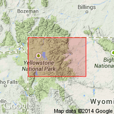
Name assigned in the Bighorn basin to all rocks that overlie Early Basalt flows and are equivalent to Late Basic Breccia (Hague, 1899). Includes Blue Point Member (named) which interfingers with unnamed hornblende-andesite flows, flow breccias, and tuffs [of the Wiggins?], Crosby breccia [member -term not consistently used in report], and an unnamed hornblende-biotite andesite and pyroxene andesite flow, breccias, and tuff breccias. Thickness ranges from 1,700 to 3,000 ft. Varies in age from late Eocene to Oligocene.
Source: GNU records (USGS DDS-6; Denver GNULEX).
- Usage in publication:
-
- Wiggins Formation*
- Modifications:
-
- Revised
- AAPG geologic province:
-
- Bighorn basin
Summary:
Overlies newly named Trout Peak Trachyandesite in Park Co, WY in Bighorn basin. Considered to be of Oligocene age.
Source: GNU records (USGS DDS-6; Denver GNULEX).
- Usage in publication:
-
- Wiggins Formation*
- Modifications:
-
- Age modified
- AAPG geologic province:
-
- Yellowstone province
Summary:
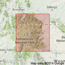
Occurs in southern Absaroka volcanic field, Trident and Two Ocean Plateaus, Yellowstone National Park, Yellowstone province, WY. Is the uppermost formation in the newly named Absaroka Volcanic Supergroup. Unconformably overlies Tepee Trail Formation, also assigned to Absaroka Supergroup. Age changed from early Oligocene to Eocene (late middle to possibly early late). K-Ar age determinations on six samples yielded ages of 44.4 +/-1.4 on hornblende; 44.6 +/-1.2, 45.5 +/-1.3, 47.1 +/-1.3, and 46.7 +/-1.5 m.y. on biotite.
Source: GNU records (USGS DDS-6; Denver GNULEX).
- Usage in publication:
-
- Wiggins Formation*
- Modifications:
-
- Geochronologic dating
- AAPG geologic province:
-
- Yellowstone province
Summary:
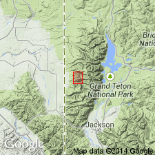
Pl. 5. Wiggins Formation. Notable exposures in Togwotee Pass, Barbers Point, Pinnacle Peak, Wiggins Peak, Castle Rock (reference section), and East Fork River areas. Samples yielded K-Ar ages from about 47 Ma (base) to about 43 Ma (top) (J.D. Obradovich, written commun., 1972).
Source: Publication.
- Usage in publication:
-
- Wiggins Formation*
- Modifications:
-
- Overview
- AAPG geologic province:
-
- Bighorn basin
Summary:
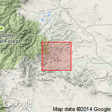
Most Wiggins rocks occur west of report area. Mapped (geologic map) in southwest part of area and as detached masses with the underlying Tepee Trail Formation in the east-central and northeast part of map. Unconformably overlies Tepee Trail. About 180 m of tuffs, volcanic conglomerate, tuffaceous mudstone and sandstone occur in area. Washakie plug, a dacite intrudes Wiggins; the plug has yielded a fission-track age of 38.8 +/-1.6 m.y. Oldest age of Wiggins previously reported as 47.1 and the youngest age reported for Wiggins is 43.1 m.y. Considered middle Eocene age. Cross sections.
Source: GNU records (USGS DDS-6; Denver GNULEX).
- Usage in publication:
-
- Wiggins Formation
- Modifications:
-
- Overview
- AAPG geologic province:
-
- Bighorn basin
Summary:
Blue Point Member of Wiggins Formation as defined by Wilson (1963), southeastern Absaroka Range in Park Co, WY in the Bighorn basin, includes a basal conglomerate, middle ash, and upper conglomerate. The ash is thick (50+ m) and has greater areal extent than either conglomerate; it forms the base of Wiggins Formation on Carter Mountain and top of Aycross Formation at Owl Creek. Blue Point not assigned to a formation. Name Blue Point marker applied to middle ash bed which is dated as 47.9 +/-0.5 m.y. Blue Point marker underlain by Aycross, Wapiti, or unnamed sequence and overlain by Tepee Trail south of Greybull River Valley and by Wiggins Formation to north. Fauna of Wapiti listed (plants, fishes, reptiles, mammals) and described. Eocene age.
Source: GNU records (USGS DDS-6; Denver GNULEX).
- Usage in publication:
-
- Wiggins Formation*
- Modifications:
-
- Geochronologic dating
- AAPG geologic province:
-
- Yellowstone province
Summary:
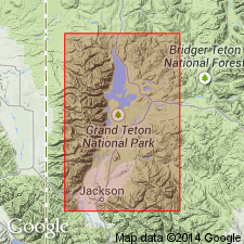
An age of 45.9 +/-0.5 Ma obtained from a 2 ft thick biotite-rich clayey sandstone on East Fork Pilgrim Creek, Yellowstone province. Wiggins is considered to be of Eocene age.
Source: GNU records (USGS DDS-6; Denver GNULEX).
For more information, please contact Nancy Stamm, Geologic Names Committee Secretary.
Asterisk (*) indicates published by U.S. Geological Survey authors.
"No current usage" (†) implies that a name has been abandoned or has fallen into disuse. Former usage and, if known, replacement name given in parentheses ( ).
Slash (/) indicates name conflicts with nomenclatural guidelines (CSN, 1933; ACSN, 1961, 1970; NACSN, 1983, 2005, 2021). May be explained within brackets ([ ]).

