The National Geologic Map Database is migrating to a new infrastructure. We apologize for any service disruptions during this process.
|
|---|


- Usage in publication:
-
- Whitetail formation*
- Modifications:
-
- Named
- Dominant lithology:
-
- Conglomerate
- AAPG geologic province:
-
- Basin-and-Range province
Summary:
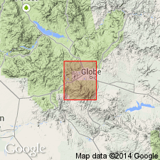
Named from Whitetail Gulch and Spring, T1S, R14E, Gila Co, AZ, Basin-and-Range province. No type locality designated. Occurs near the Continental mine, at south end of Whitetail Gulch and southwest of Gold Gulch on west side of Globe quad. Consists of coarse, angular, stony detritus that was laid down on an irregular surface and was covered by dacite. Varies much in thickness and lithologic character. Includes angular to rounded fragments of diabase, limestone, and sandy detritus. Not well indurated. Some of the diabase "fragments" are up to 3 ft in diameter. Complete thickness not given. Is younger than Globe limestone (new) and older than Gila conglomerate. Age of early Tertiary assigned in text and of Eocene? on geologic map. Is a fluviatile deposit. Fans of detritus were locally reworked and stratified by local streams, and later covered by tuff and lava.
Source: GNU records (USGS DDS-6; Denver GNULEX).
- Usage in publication:
-
- Whitetail Conglomerate*
- Modifications:
-
- Age modified
- AAPG geologic province:
-
- Basin-and-Range province
Summary:
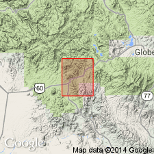
Age changed from Tertiary? to Tertiary on the basis of 1) 20-m.y K-Ar date on the younger, newly named Apache Leap and 2) alternating sedimentary and tuffaceous beds in upper part of Whitetail. The tuff in the Whitetail came from pyroclastic eruptions that immediately preceded the Apache Leap eruptions. Ranges between 0 and 350 ft thick on the outcrop and 500 and 2,000 ft thick in the subsurface in the report area, Basin-and-Range province. Mapped at five localities in the north-central part of the quad and in the southeast part of the quad. Is younger than an unnamed Tertiary rhyolite.
Source: GNU records (USGS DDS-6; Denver GNULEX).
- Usage in publication:
-
- Whitetail Conglomerate*
- Modifications:
-
- Age modified
- AAPG geologic province:
-
- Basin-and-Range province
Summary:
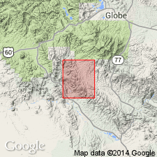
Age changed from Tertiary to Oligocene. Biotite collected from an air-fall tuff interbedded near top of Whitetail has a K-Ar age of 32 m.y. Occurs in western part of quad, Pinal Co, AZ in Basin-and-Range province. Geologic map.
Source: GNU records (USGS DDS-6; Denver GNULEX).
For more information, please contact Nancy Stamm, Geologic Names Committee Secretary.
Asterisk (*) indicates published by U.S. Geological Survey authors.
"No current usage" (†) implies that a name has been abandoned or has fallen into disuse. Former usage and, if known, replacement name given in parentheses ( ).
Slash (/) indicates name conflicts with nomenclatural guidelines (CSN, 1933; ACSN, 1961, 1970; NACSN, 1983, 2005, 2021). May be explained within brackets ([ ]).