

- Usage in publication:
-
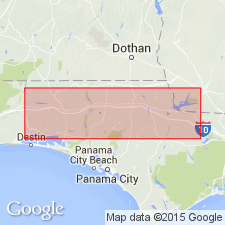
- Whites Creek beds member
- Modifications:
-
- Named
- Dominant lithology:
-
- Marl
- Sand
- AAPG geologic province:
-
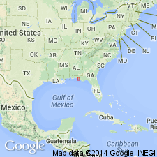
- Mid-Gulf Coast basin
Summary:
Name proposed for member of Shoal River formation either older than, or in part equivalent to, typical Shoal River as exposed at Shell Bluff on Shoal River. At type section, about 12 ft thick. Consists of fossiliferous blue shell marl, gray shell marl (in places indurated to form hard lumps), and brown and yellow sand.
Source: GNU records (USGS DDS-6; Reston GNULEX).
- Usage in publication:
-
- Whites Creek
- Modifications:
-
- Not used
- AAPG geologic province:
-
- Mid-Gulf Coast basin
Summary:
Alum Bluff Group referred to as undifferentiated in this report. Because formations assigned by previous workers were differentiated on the basis of micro- and macrofossil faunas and implied age, not lithology, and do not satisfy the requirements of the Code, they are not used by this author. Alum Bluff is described in several outcrops and includes sediments previously differentiated as Chipola, Shoal River, Oak Grove, Whites Creek, Choctawhatchee, Red Bay, and Yellow River by others. Whites Creek was originally considered to represent the middle portion of the Shoal River Formation and to overlie the Oak Grove Sand Member.
Source: GNU records (USGS DDS-6; Reston GNULEX).
For more information, please contact Nancy Stamm, Geologic Names Committee Secretary.
Asterisk (*) indicates published by U.S. Geological Survey authors.
"No current usage" (†) implies that a name has been abandoned or has fallen into disuse. Former usage and, if known, replacement name given in parentheses ( ).
Slash (/) indicates name conflicts with nomenclatural guidelines (CSN, 1933; ACSN, 1961, 1970; NACSN, 1983, 2005, 2021). May be explained within brackets ([ ]).