

- Usage in publication:
-
- White Sage Formation*
- Modifications:
-
- Original reference
- AAPG geologic province:
-
- Great Basin province
Summary:
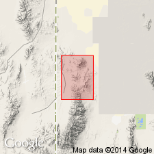
White Sage formation. Fresh-water, rather impure, very fine-grained limestones, generally brownish, with basal conglomerate, 1 to 50 feet thick, containing pebbles of Pennsylvanian and Permian rocks. Is everywhere unconformably overlain by lava or recent gravels. Occurs only in northwestern part of Gold Hill quadrangle, [Gold Hill district, western Utah]. Rests on Triassic, Permian, or Pennsylvanian rocks. Few fossils; of probable Eocene age. May correspond to Wasatch or Green River formation to east, both of which are said by Reeside to contain identical limestones. Age is Tertiary (Eocene?).
Named from White Sage Flat (Gold Hill quadrangle), which is just west of most southerly outcrops of the formation.
Source: US geologic names lexicon (USGS Bull. 896, p. 2326).
For more information, please contact Nancy Stamm, Geologic Names Committee Secretary.
Asterisk (*) indicates published by U.S. Geological Survey authors.
"No current usage" (†) implies that a name has been abandoned or has fallen into disuse. Former usage and, if known, replacement name given in parentheses ( ).
Slash (/) indicates name conflicts with nomenclatural guidelines (CSN, 1933; ACSN, 1961, 1970; NACSN, 1983, 2005, 2021). May be explained within brackets ([ ]).