- Usage in publication:
-
- White River Ash
- Modifications:
-
- Named
- Dominant lithology:
-
- Ash
- AAPG geologic province:
-
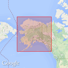
- Alaska Southern region
Summary:
Named for White River. Composed of ash. Is 0.75 m thick. Age is Holocene.
Source: GNU records (USGS DDS-6; Menlo GNULEX).

- Usage in publication:
-
- White River Ash Bed*
- Modifications:
-
- Overview
- Geochronologic dating
- Dominant lithology:
-
- Ash
- AAPG geologic province:
-
- Alaska Southern region
Summary:
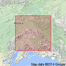
History of literature given. Reference section designated as exposures on north side of White River 13 km downstream from source of river in Russel Glacier and 50 km west of Alaska-Canada border, McCarthy D-2 quad, AK. Ash is composed mainly of glass. Bed is [enclosed] within and near top of the Engineer Loess (new). Thickness at type is 0.75 m, ranges a few mm to several tens of m. Radiocarbon ages range from 2000 +/-250 to 1520 +/-100 yr B.P. Assigned Holocene age.
Source: GNU records (USGS DDS-6; Menlo GNULEX).
For more information, please contact Nancy Stamm, Geologic Names Committee Secretary.
Asterisk (*) indicates published by U.S. Geological Survey authors.
"No current usage" (†) implies that a name has been abandoned or has fallen into disuse. Former usage and, if known, replacement name given in parentheses ( ).
Slash (/) indicates name conflicts with nomenclatural guidelines (CSN, 1933; ACSN, 1961, 1970; NACSN, 1983, 2005, 2021). May be explained within brackets ([ ]).

