The National Geologic Map Database is migrating to a new infrastructure. We apologize for any service disruptions during this process.
|
|---|


- Usage in publication:
-
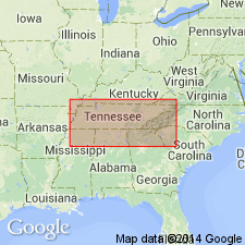
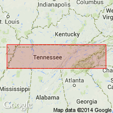
- White Oak Mountain sandstone and shale
- Modifications:
-
- Named
- Dominant lithology:
-
- Sandstone
- Shale
- AAPG geologic province:
-
- Appalachian basin
Summary:
Name introduced in this report. Clinch and White Oak Mountain sandstone and shale mapped undivided. 800 to 1,000 ft thick. Underlies Dyestone and overlies Nashville group. Age is Silurian (Medina).
Source: GNU records (USGS DDS-6; Reston GNULEX).
- Usage in publication:
-
- White Oak Mountain sandstone
- Modifications:
-
- Overview
- AAPG geologic province:
-
- Appalachian basin
Safford, J.M., 1869, Geology of Tennessee: Nashville, TN, 550 p.
Summary:
White Oak Mountain sandstone described. Consists of variegated sandstone with some shale. Thickness 500 ft in TN; at least 600 ft in gap at Ringgold, GA. The sandstones are mostly fine-grained, thin- and even-bedded, sometimes thick-bedded, fossiliferous, generally reddish brown but also greenish gray, or buff, among other colors. Some layers are highly ferruginous. Shales are reddish brown, pale green, and others colors, alternating in beds of various thicknesses with the sandstones. Not observed either east or west of belt including White Oak and its spurs. Underlies Dystone group, and overlies Clinch Mountain sandstone. Included in Niagara group. [Rocks subsequently included in Rockwood formation by C.W. Hayes (1894: USGS Ringgold folio, no. 2). Probably corresponds to Rockwood sandstone member of Rockwood formation, a name that has since been discarded.]
Source: GNU records (USGS DDS-6; Reston GNULEX).
For more information, please contact Nancy Stamm, Geologic Names Committee Secretary.
Asterisk (*) indicates published by U.S. Geological Survey authors.
"No current usage" (†) implies that a name has been abandoned or has fallen into disuse. Former usage and, if known, replacement name given in parentheses ( ).
Slash (/) indicates name conflicts with nomenclatural guidelines (CSN, 1933; ACSN, 1961, 1970; NACSN, 1983, 2005, 2021). May be explained within brackets ([ ]).