- Usage in publication:
-
- Whitcomb Quartzite*
- Modifications:
-
- Named
- Dominant lithology:
-
- Quartzite
- Rhyolite
- AAPG geologic province:
-
- Basin-and-Range province
Summary:
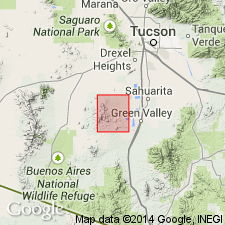
Named. Type locality at Whitcomb Hill in N/2 SW/4 sec. 11, T. 17 S., R. 12 E., Pima Co., AZ, Basin-and-Range province. Made up of very light gray, well-sorted fine- to medium-grained indistinctly bedded orthoquartzite that contains lenses of gray flinty rhyolite tuff in the upper part. About three-fourths of the formation is quartzite. Is resistant to erosion Is locally cut by discordant bodies of andesite. Thickness ranges between about 300 ft to nearly 600 ft in a distance of less than a mile near type locality. Disconformably overlies Rodolfo Formation (Triassic) and disconformably overlain by Angelica Arkose (Lower Cretaceous). Is assigned an Early Cretaceous(?) age. Could be equivalent to Glance Conglomerate. Geologic map.
Source: GNU records (USGS DDS-6; Denver GNULEX).
For more information, please contact Nancy Stamm, Geologic Names Committee Secretary.
Asterisk (*) indicates published by U.S. Geological Survey authors.
"No current usage" (†) implies that a name has been abandoned or has fallen into disuse. Former usage and, if known, replacement name given in parentheses ( ).
Slash (/) indicates name conflicts with nomenclatural guidelines (CSN, 1933; ACSN, 1961, 1970; NACSN, 1983, 2005, 2021). May be explained within brackets ([ ]).

