The National Geologic Map Database is migrating to a new infrastructure. We apologize for any service disruptions during this process.
|
|---|


- Usage in publication:
-
- Whetstone Hill member
- Modifications:
-
- Named
- Dominant lithology:
-
- Phyllite
- Schist
- Quartzite
- Gneiss
- Amphibolite
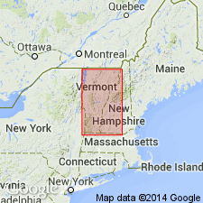
- AAPG geologic province:
-
- New England province
Summary:
Named the Whetstone Hill member of the Missisquoi formation. Unit was first used as a member of the Moretown formation by Thompson (1950, unpublished thesis) and Brace (1953, Vermont Geol. Survey Bull., no. 6). Consists of carbonaceous black to light gray phyllite and schist containing porphyroblasts of fine-grained biotite gneiss and amphibolite. Description and correlation of map units show the Whetstone Hill surrounded by the Moretown member of the Missisquoi formation. The Whetstone Hill is of Middle Ordovician age.
Source: GNU records (USGS DDS-6; Reston GNULEX).
For more information, please contact Nancy Stamm, Geologic Names Committee Secretary.
Asterisk (*) indicates published by U.S. Geological Survey authors.
"No current usage" (†) implies that a name has been abandoned or has fallen into disuse. Former usage and, if known, replacement name given in parentheses ( ).
Slash (/) indicates name conflicts with nomenclatural guidelines (CSN, 1933; ACSN, 1961, 1970; NACSN, 1983, 2005, 2021). May be explained within brackets ([ ]).