- Usage in publication:
-
- Westwater Canyon sandstone member*
- Modifications:
-
- Named
- Dominant lithology:
-
- Sandstone
- AAPG geologic province:
-
- Paradox basin
Summary:
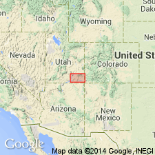
Name "tentatively" given to a sandstone in the Morrison formation whose relationship to Salt Wash and to Bluff member is unclear. Name derived from West Water Canyon [West Water Creek shown on map], Ts 37 and 36S, R22E, San Juan Co., UT. Lies above the Recapture shale member (new) and below the Brushy Basin shale member (new), both of the Morrison formation. Is composed of a series of white sandstones which have rounded, medium to coarse grains of quartz cemented by calcium carbonate and arranged in irregular lenticular beds 1 to 30 ft thick. Conglomeratic bands and stringers composed of quartz, chert, concretionary masses, petrified wood, and dinosaur bones; red, earthy, soft, fine-grained, sandy shales occur as interbeds with the sandstones. Ranges from 222 to 295 ft thick. Is of Late Jurassic age.
Source: GNU records (USGS DDS-6; Denver GNULEX).

- Usage in publication:
-
- Westwater Canyon member*
- Modifications:
-
- Areal extent
- AAPG geologic province:
-
- San Juan basin
Summary:
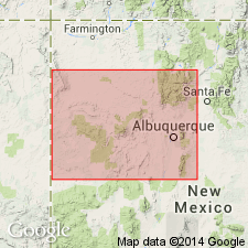
Pg. 309, 314, 315 (fig. 60), 324, 326, 330, 333. Westwater Canyon member of Morrison formation. In Laguna area, northwestern New Mexico, Recapture, Westwater Canyon, and most of Brushy Basin members are present in stratigraphic interval previously considered as Recapture. Sandstone, previously considered as Westwater Canyon, is at top of Brushy Basin and is informally called Jackpile ore-bearing bed. Westwater Canyon in Gallup-Albuquerque area, northwestern New Mexico, ranges from about 50 to 190 feet in thickness; locally absent near Laguna. In general, thickens from Laguna area westward toward Gallup and northward toward San Ysidro. [Age is Late Jurassic.]
Source: US geologic names lexicon (USGS Bull. 1200, p. 4192-4193).
For more information, please contact Nancy Stamm, Geologic Names Committee Secretary.
Asterisk (*) indicates published by U.S. Geological Survey authors.
"No current usage" (†) implies that a name has been abandoned or has fallen into disuse. Former usage and, if known, replacement name given in parentheses ( ).
Slash (/) indicates name conflicts with nomenclatural guidelines (CSN, 1933; ACSN, 1961, 1970; NACSN, 1983, 2005, 2021). May be explained within brackets ([ ]).

