- Usage in publication:
-
- West Molokai volcanic series
- Modifications:
-
- Named
- Dominant lithology:
-
- Volcanics
- AAPG geologic province:
-
- Molokai
Summary:
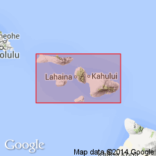
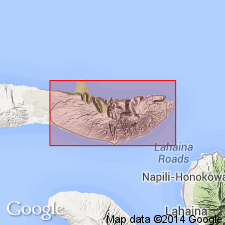
Named for exposures located on W part of Island of Molokai. Consists almost entirely of thin-bedded aa and pahoehoe basalt flows with few eroded and weathered cinder and spatter cones on rifts. Underlies with erosional unconformity lava flows from East Molokai volcanic series (new). Underlies lateric soil 10 to 15 ft thick indicating long extinction. Assigned Tertiary age on map.
Source: GNU records (USGS DDS-6; Menlo GNULEX).
- Usage in publication:
-
- West Molokai volcanic series*
- Modifications:
-
- Overview
- AAPG geologic province:
-
- Molokai
Summary:
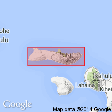
Named for West Molokai Mountain (Mauna Loa Volcano). Composed of olivine basalts, basalts, and primitive-type picrite-basalts. Flows average 2 ft in thickness. Bed of breccia blocks up to 2 ft thick exposed in S wall of Waiahewahewa Gulch 0.5 mi from summit. 32 dikes are exposed in sea cliff. Underlies with erosional unconformity East Molokai volcanic series. Unconformably underlies Quaternary sedimentary deposits. Map shows Pliocene age.
Source: GNU records (USGS DDS-6; Menlo GNULEX).
- Usage in publication:
-
- West Molokai volcanic series*
- Modifications:
-
- Age modified
- AAPG geologic province:
-
- Molokai
Summary:
Type locality: West Molokai Mountain (locally known as Mauna Loa) [21 deg 08' 09"N, 157 deg 12' 59"W, Ilio Point 7.5' quad, west part of Island of Molokai]. Covers area of 120 sq mi. Is 1,381 ft thick above sea level with base not exposed. No fossils. Assigned Pliocene(?) age based on degree of weathering and erosion. Lavas have weathered into residual soils 10 to 50 ft deep.
Source: GNU records (USGS DDS-6; Menlo GNULEX).
- Usage in publication:
-
- West Molokai volcanic series*
- Modifications:
-
- Geochronologic dating
- AAPG geologic province:
-
- Molokai
Summary:
K-Ar age from massive, dark-gray basalt (with no olivine) from road cut 1 mi W of Puu Nana (altitude of 1080 ft) from West Molokai volcanic series gave 1.84 Ma.
Source: GNU records (USGS DDS-6; Menlo GNULEX).
- Usage in publication:
-
- West Molokai volcanic series*
- Modifications:
-
- Geochronologic dating
- AAPG geologic province:
-
- Molokai
Summary:
K-Ar ages on West Molokai volcanic series basalt: from lower member at Kaakaukou Gulch range from 2,82 +/-0.77 to 1.75 +/-0.06 Ma; from lower member near Puu Nana gave 1.90 +/-0.06 Ma; and from lower member at Waiakane Gulch range from 1.65 +/-0.05 to 1.29 +/-0.07 Ma.
Source: GNU records (USGS DDS-6; Menlo GNULEX).
- Usage in publication:
-
- West Molokai Volcanics*
- Modifications:
-
- Geochronologic dating
- AAPG geologic province:
-
- Molokai
Summary:
K-Ar ages on 3 samples of postshield-stage hawaiite from West Molokai Volcanics range from 1.80 +/-0.04 to 1.73 +/-0.02 Ma.
Source: GNU records (USGS DDS-6; Menlo GNULEX).
- Usage in publication:
-
- West Molokai Volcanics*
- Modifications:
-
- Revised
- AAPG geologic province:
-
- Molokai
Summary:
West Molokai Volcanic Series of Stearns (1946) reduced in rank and renamed West Molokai Volcanics to reflect its varied rock types. Age is considered to be Pliocene and Pleistocene based on K-Ar determinations by Naughton and others (1980).
Source: GNU records (USGS DDS-6; Menlo GNULEX).
For more information, please contact Nancy Stamm, Geologic Names Committee Secretary.
Asterisk (*) indicates published by U.S. Geological Survey authors.
"No current usage" (†) implies that a name has been abandoned or has fallen into disuse. Former usage and, if known, replacement name given in parentheses ( ).
Slash (/) indicates name conflicts with nomenclatural guidelines (CSN, 1933; ACSN, 1961, 1970; NACSN, 1983, 2005, 2021). May be explained within brackets ([ ]).

