

- Usage in publication:
-
- West Felda Shale Member*
- Modifications:
-
- Named
- Dominant lithology:
-
- Shale
- Limestone
- AAPG geologic province:
-
- South Florida province
Summary:
West Felda Shale Member, lower member of Lehigh Acres Formation (new) of Glades Group. Consists of dark-gray, micaceous, calcareous shale and shaly limestone. Thickness is 40 feet in type well. Overlies Pumpkin Bay Formation (new); underlies Twelve Mile Member (new) of Lehigh Acres. Age is Early Cretaceous (earliest Comanchean).
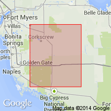
Type section (subsurface): depth-interval 12,760 to 12,800 ft, Humble Oil and Refining Company No. 1 Lehigh Acres well P-407, in sec. 14, T. 45 S., R. 27 E., Lee Co., FL. Named from the West Felda oil field.
Source: Modified from GNU records (USGS DDS-6; Reston GNULEX).
For more information, please contact Nancy Stamm, Geologic Names Committee Secretary.
Asterisk (*) indicates published by U.S. Geological Survey authors.
"No current usage" (†) implies that a name has been abandoned or has fallen into disuse. Former usage and, if known, replacement name given in parentheses ( ).
Slash (/) indicates name conflicts with nomenclatural guidelines (CSN, 1933; ACSN, 1961, 1970; NACSN, 1983, 2005, 2021). May be explained within brackets ([ ]).