- Usage in publication:
-
- Werner Formation
- Modifications:
-
- Overview
- Dominant lithology:
-
- Anhydrite
- Shale
- Sandstone
- Conglomerate
- AAPG geologic province:
-
- Mid-Gulf Coast basin
Summary:
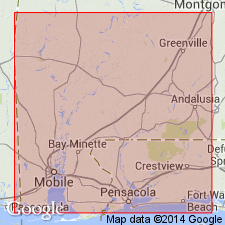
Werner Formation consists predominantly of anhydrite, but includes shale, sandstone, and conglomerate in the lower portion of the formation. Maximum thickness in report area exceeds 500 ft. Disconformably overlies the Late Triassic to Early Jurassic Eagle Mills Formation or basement rocks. Represents initial transgression of marine waters into the Gulf of Mexico basin [now called Gulf of America]. Callovian age assigned by Salvador (1987) based on regional stratigraphic and paleogeographic relationships.
[Gulf of Mexico renamed Gulf of America (U.S. Board on Geographic Names per Presidential Executive Order 14172, issued January 20, 2025, and Department of Interior's Secretarial Order 3423, issued Feb. 7, 2025).]
Source: GNU records (USGS DDS-6; Reston GNULEX).

- Usage in publication:
-
- Werner Anhydrite
- Modifications:
-
- Redescribed
- AAPG geologic province:
-
- Mid-Gulf Coast basin
Summary:
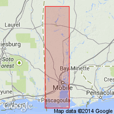
Unit referred to in this report as Werner Anhydrite. Though according to the original definition of the Werner, unit consists of an upper massive anhydrite member and a lower conglomeratic redbed member, the lower redbeds cannot be distinguished from the underlying Eagle Mills redbeds on well logs. Consequently, the term Werner Formation often refers only to the anhydrite member. Interpreted as a marginal facies of the Louann Salt.
Source: GNU records (USGS DDS-6; Reston GNULEX).
For more information, please contact Nancy Stamm, Geologic Names Committee Secretary.
Asterisk (*) indicates published by U.S. Geological Survey authors.
"No current usage" (†) implies that a name has been abandoned or has fallen into disuse. Former usage and, if known, replacement name given in parentheses ( ).
Slash (/) indicates name conflicts with nomenclatural guidelines (CSN, 1933; ACSN, 1961, 1970; NACSN, 1983, 2005, 2021). May be explained within brackets ([ ]).

