- Usage in publication:
-
- Wenonah bed
- Modifications:
-
- Named
- Dominant lithology:
-
- Sand
- AAPG geologic province:
-
- Atlantic Coast basin
Summary:
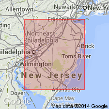
Name Wenonah bed introduced for sand overlying Marshalltown bed and forming top division of Clay Marl series [Matawan group].
Source: GNU records (USGS DDS-6; Reston GNULEX).
- Usage in publication:
-
- Wenonah sand
- Modifications:
-
- Revised
- Overview
- AAPG geologic province:
-
- Atlantic Coast basin
Summary:
Term Wenonah sand used for reddish-brown or black sand, with thin seams of black or chocolate-colored clay that overlies Marshalltown clay marl and underlies Navesink marl. Thickness 50 to 60 ft. Age is Late Cretaceous.
Source: GNU records (USGS DDS-6; Reston GNULEX).
- Usage in publication:
-
- Wenonah member
- Modifications:
-
- Revised
- Areal extent
- AAPG geologic province:
-
- Atlantic Coast basin
Summary:
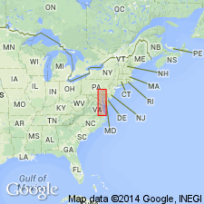
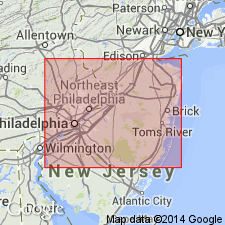
Wenonah formation revised as member of Matawan formation (rank reduced). Conformably overlies Marshalltown member and underlies Mount Laurel member, both contacts conformable. Marine in origin and consists of fine micaceous sparingly glauconitic sand locally laminated with thin layers of clay. Thickness about 40 ft in Monmouth Co., but thins to the south where it cannot be differentiated from overlying Mount Laurel. Can be followed in outcrop from Atlantic Highlands into DE where it is exposed in cuts of Chesapeake and Delaware Canal.
Source: GNU records (USGS DDS-6; Reston GNULEX).
- Usage in publication:
-
- Wenonah Formation
- Modifications:
-
- Overview
- AAPG geologic province:
-
- Atlantic Coast basin
Summary:
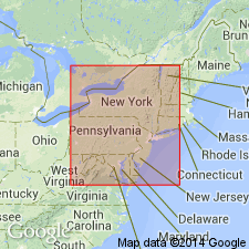
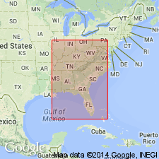
The Wenonah Formation at the top of the Matawan Group is a light olive gray to dark gray thin-bedded to massive, poorly-sorted silty micaceous fine quartz sand, with abundant finely comminuted lignitic particles concentrated in laminae in some beds. Grades conformably upward into the overlying Mount Laurel Formation. The two can be distinguished only on the basis of fossils. It has been suggested by Gallagher and others (1986) that the two units should be combined into a single formation--the Mount Laurel. Unit reaches a maximum of 18 to 21 m in the central part of the outcrop belt near Trenton and a minimum of 4.5 m in the southwest. Internal casts of fossils are scattered through the formation and some thin concentrations of vertebrate fossils are present. Extends from Raritan Bay on the northeast through the west-central part of the Inner Coastal Plain and pinches out in Salem Co. The Wenonah is not recognized in DE. It is well exposed in the banks of Big Brook, west of Boundary Road, Marlboro, Monmouth Co., NJ. Overlies the Marshalltown Formation. Age is middle late Campanian or basal Maastrichtian.
Source: GNU records (USGS DDS-6; Reston GNULEX).
- Usage in publication:
-
- Wenonah Formation*
- Modifications:
-
- Biostratigraphic dating
- AAPG geologic province:
-
- Atlantic Coast basin
Summary:
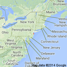
Wenonah Formation shown as Late Cretaceous (late Campanian) on fig. 1. Late Campanian age based on CRASSATELLA VADOSA collected from Monmouth Co., central NJ.
Source: GNU records (USGS DDS-6; Reston GNULEX).
- Usage in publication:
-
- Wenonah Formation*
- Modifications:
-
- Biostratigraphic dating
- Age modified
- AAPG geologic province:
-
- Atlantic Coast basin
Summary:
Ammonite biostratigraphy of the Wenonah Formation of NJ demonstrates that the formation is not of early Maastrichtian age as suggested by micropaleontologists, but is latest middle Campanian or late Campanian. The presence of MENUITES PORTLOCKI and TRACHYSCAPHITES PULCHERRIMUS indicates upper (but not uppermost) Campanian in a northwest Europe sense, and the presence of BACULITES cf. B. SCOTTI suggests uppermost middle Campanian in Western Interior provincial substages.
Source: GNU records (USGS DDS-6; Reston GNULEX).
- Usage in publication:
-
- Wenonah Formation
- Modifications:
-
- Overview
- AAPG geologic province:
-
- Atlantic Coast basin
Summary:
Uppermost Campanian unconformity-bounded sequence in the NJ coastal plain, informally termed the Marshalltown sequence in this report, includes the Marshalltown, Wenonah, and Mount Laurel Formations and ranges in age from 74.1 to 69.9 Ma based on Sr-isotope age estimates. Sequence boundaries of the Marshalltown match boundaries elsewhere in the Atlantic Coastal Plain and the inferred global sea-level record of Haq and others (1987). Eustatic changes determined to be the mechanism controlling deposition of this sequence. The Marshalltown Formation is a fine-grained, silty, quartzose, glauconite sand deposited in middle- to outer-shelf environments (30-200 m). The Wenonah and Mount Laurel Formations vary greatly in lithology and thickness. Finer grained Wenonah dominates the sequence in northern NJ, while the coarse, massive quartz sand of the Mount Laurel dominates in the south.
Source: GNU records (USGS DDS-6; Reston GNULEX).
For more information, please contact Nancy Stamm, Geologic Names Committee Secretary.
Asterisk (*) indicates published by U.S. Geological Survey authors.
"No current usage" (†) implies that a name has been abandoned or has fallen into disuse. Former usage and, if known, replacement name given in parentheses ( ).
Slash (/) indicates name conflicts with nomenclatural guidelines (CSN, 1933; ACSN, 1961, 1970; NACSN, 1983, 2005, 2021). May be explained within brackets ([ ]).

