

- Usage in publication:
-
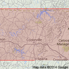
- Wells Creek
- Modifications:
-
- Named
- Dominant lithology:
-
- Limestone
- AAPG geologic province:
-
- Appalachian basin
Summary:
Named for exposures in Wells Creek basin, Tennessee. Consists of limestone containing chert. Approximately 350 feet thick. Considered lowest unit of Stones River Group. Overlies Knox dolomite; underlies Murfreesboro.
Source: GNU records (USGS DDS-6; Reston GNULEX).
- Usage in publication:
-
- Wells Creek Formation
- Modifications:
-
- Overview
- AAPG geologic province:
-
- Appalachian basin
- Cincinnati arch
- Michigan basin
Summary:
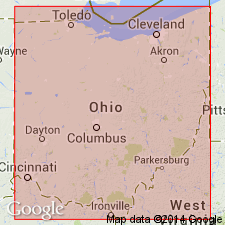
According to traditional time-rock classification of North America, the entire Champlainian Series (represented by the Wells Creek Formation through the Trenton Limestone) has always been regarded as Middle Ordovician. The COSUNA charts, however, based on the global system of time-rock classification of European strata assigned most Champlainian-age rocks to the Late Ordovician. Authors of this report do not agree with the assignments of the COSUNA charts and continue to consider the Wells Creek Formation and the overlying Black River Group, and Trenton Limestone as Middle Ordovician. The Wells Creek unconformably overlies the Cambrian Knox Dolomite. It correlates with the Dutchtown Formation of eastern IN, the Glenwood Shale of the lower MI peninsula, the Shadow Lake Formation of PA and Ontario, and the Tribes Hill Formation of NY. The Wells Creek in northwestern OH ranges from 0 to 60 ft thick. It averages about 20 ft and thickens to the east. In report area it contains waxy, dolomitic, pyritic green shales; argillaceous limestones and dolomites, minor brown, gray and black shales and small amounts of sandstone and siltstone. Contact with the Black River Group is placed where the lithology changes from the shales or argillaceous carbonates of the Wells Creek to the relatively clean micritic limestone or dolomite of the Black River.
Source: GNU records (USGS DDS-6; Reston GNULEX).
For more information, please contact Nancy Stamm, Geologic Names Committee Secretary.
Asterisk (*) indicates published by U.S. Geological Survey authors.
"No current usage" (†) implies that a name has been abandoned or has fallen into disuse. Former usage and, if known, replacement name given in parentheses ( ).
Slash (/) indicates name conflicts with nomenclatural guidelines (CSN, 1933; ACSN, 1961, 1970; NACSN, 1983, 2005, 2021). May be explained within brackets ([ ]).