The National Geologic Map Database is migrating to a new infrastructure. We apologize for any service disruptions during this process.
|
|---|


- Usage in publication:
-
- Welden limestone
- Modifications:
-
- Original reference
- AAPG geologic province:
-
- Arkoma basin
Summary:
Map of Arbuckle Mountains shows: (1) in southwestern part of mountains, Sycamore limestone overlain by Caney shale and underlain by Woodford formation; (2) in southeastern part of mountains, Caney shale resting on Woodford formation; and (3) in northeastern part of mountains, Welden limestone overlain by Caney shale and underlain by Woodford formation. In latter area Welden Creek cuts across his Welden limestone. [According to G.H. Girty (personal communication) the faunas of typical Sycamore limestone and Cooper's Welden limestone differ. The bulletin cited above is devoted to stratigraphic and physical characteristics of Simpson group, and the text does not mention Welden limestone.]
Source: US geologic names lexicon (USGS Bull. 896, p. 2298-2299).
- Usage in publication:
-
- Welden limestone
- Modifications:
-
- Areal extent
- AAPG geologic province:
-
- South Oklahoma folded belt
Summary:
Table on p. 579 showed the Mississippian of Hunton arch area divided into (descending) Lower Caney, Welden, and Woodford; and on map on p. 583 of his paper, which is "after Geo. D. Morgan," appears Welden limestone (Sycamore).
Source: US geologic names lexicon (USGS Bull. 896, p. 2298-2299).

- Usage in publication:
-
- Welden limestone
- Modifications:
-
- Overview
Summary:
C.L. Cooper, 1936 (letter dated June 30). Definition of Welden limestone has never been published. Am at present working on conodont fauna of this formation.
Source: US geologic names lexicon (USGS Bull. 896, p. 2298-2299).
- Usage in publication:
-
- Welden limestone
- Modifications:
-
- Areal extent
- AAPG geologic province:
-
- Arkoma basin
Summary:
On p. 954 showed the following downward succession of formations in Fitts oil pool, Pontotoc County, Oklahoma: Pennsylvanian Caney, Mississippian Caney, Mayes, Welden, and Woodford. On p. 958 he treated Mayes and Welden as part of "Mississippian Caney," and stated that the Welden consists of 5 to 10 feet of grayish white, finely crystalline limestone.
Source: US geologic names lexicon (USGS Bull. 896, p. 2298-2299).
- Usage in publication:
-
- Welden limestone*
- Modifications:
-
- Principal reference
- Dominant lithology:
-
- Limestone
- AAPG geologic province:
-
- Arkoma basin
Summary:
Pg. 381-382. Welden limestone. Buff to blue-gray massive argillaceous limestone. Maximum thickness (type locality) 2 feet. Underlies Caney shale; overlies Bushberg-Hannibal strata. Age is Early Mississippian.
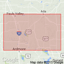
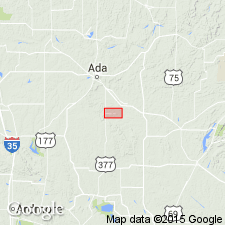
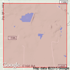
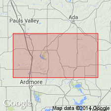
Type locality: in railroad cut, in sec. 27, T. 3 N., R. 6 E., a few mi east of Ada, Pontotoc Co., central southern OK. Named from Welden Creek which crosses outcrop in same section. Outcrops are some 20 mi in length.
Source: US geologic names lexicon (USGS Bull. 1200, p. 4168).
- Usage in publication:
-
- Welden limestone
- Modifications:
-
- Areal extent
- AAPG geologic province:
-
- Arkoma basin
Summary:
Pg. 70 (table 2). Welden limestone. In northern Arbuckles, central southern Oklahoma, underlies Ahlosa member (new) of Caney shale. Contact placed at glauconitic zone above Welden. [Age is Mississippian.]
Source: US geologic names lexicon (USGS Bull. 1200, p. 4168); supplemental information from GNU records (USGS DDS-6; Denver GNULEX, Ahlosa entry).
For more information, please contact Nancy Stamm, Geologic Names Committee Secretary.
Asterisk (*) indicates published by U.S. Geological Survey authors.
"No current usage" (†) implies that a name has been abandoned or has fallen into disuse. Former usage and, if known, replacement name given in parentheses ( ).
Slash (/) indicates name conflicts with nomenclatural guidelines (CSN, 1933; ACSN, 1961, 1970; NACSN, 1983, 2005, 2021). May be explained within brackets ([ ]).