The National Geologic Map Database is migrating to a new infrastructure. We apologize for any service disruptions during this process.
|
|---|


- Usage in publication:
-
- Weisenberg Formation*
- Modifications:
-
- Named
- Dominant lithology:
-
- Shale
- Mudstone
- Claystone
- Siltstone
- AAPG geologic province:
-
- Appalachian basin
Summary:
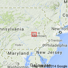
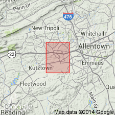
Poorly cleaved to fissile gray shale, mudstone, claystone, and siltstone are here named the Weisenberg Member of the Windsor Township Formation in the Greenwich slice of the Hamburg klippe in PA. The member contains the informal Werleys conglomerate, lenticular channel fill deposits thought to be debris flows, best exposed near Werleys Corner in the Slatedale 7.5' quadrangle. Maximum thickness of the Weisenberg is 1,740 m. Age is Middle Ordovician, based on graptolites.
Source: GNU records (USGS DDS-6; Reston GNULEX).
- Usage in publication:
-
- Weisenberg Member*
- Modifications:
-
- Biostratigraphic dating
- AAPG geologic province:
-
- Appalachian basin
Summary:
The age of the Weisenberg Member of the Windsor Township Formation is established as Middle Ordovician (late Whiterockian to early Blackriveran or late Llandeilian to late Caradocian). Member contains graptolite fauna of the NEMOGRAPTUS GRACILIS Zone.
Source: GNU records (USGS DDS-6; Reston GNULEX).
For more information, please contact Nancy Stamm, Geologic Names Committee Secretary.
Asterisk (*) indicates published by U.S. Geological Survey authors.
"No current usage" (†) implies that a name has been abandoned or has fallen into disuse. Former usage and, if known, replacement name given in parentheses ( ).
Slash (/) indicates name conflicts with nomenclatural guidelines (CSN, 1933; ACSN, 1961, 1970; NACSN, 1983, 2005, 2021). May be explained within brackets ([ ]).