

- Usage in publication:
-
- Waynesboro Sand Lentil*
- Modifications:
-
- First used
- Dominant lithology:
-
- Sand
- AAPG geologic province:
-
- Mid-Gulf Coast basin
Summary:
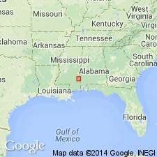
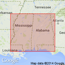
Waynesboro Sand Lentil of Bucatunna Formation mapped in subsurface of Wayne Co. and along Chickasawhay River. Described as elongate north-south-trending sand body of Oligocene age.
Source: GNU records (USGS DDS-6; Reston GNULEX).
- Usage in publication:
-
- Waynesboro sand lentil
- Modifications:
-
- Overview
- AAPG geologic province:
-
- Mid-Gulf Coast basin
Summary:
In vicinity of Waynesboro, Wayne Co., MS, the Waynesboro sand lentil [informal] of the Bucatunna Clay, cuts out the underlying clays and marl and disconformably overlies either the Glendon or the Marianna Limestone. This channel-fill deposit consists of very fine to fine-grained, subangular, cross-bedded sand and silt and is approximately 100 ft thick near Waynesboro.
Source: GNU records (USGS DDS-6; Reston GNULEX).
For more information, please contact Nancy Stamm, Geologic Names Committee Secretary.
Asterisk (*) indicates published by U.S. Geological Survey authors.
"No current usage" (†) implies that a name has been abandoned or has fallen into disuse. Former usage and, if known, replacement name given in parentheses ( ).
Slash (/) indicates name conflicts with nomenclatural guidelines (CSN, 1933; ACSN, 1961, 1970; NACSN, 1983, 2005, 2021). May be explained within brackets ([ ]).