The National Geologic Map Database is migrating to a new infrastructure. We apologize for any service disruptions during this process.
|
|---|


- Usage in publication:
-
- Wayan formation*
- Modifications:
-
- Named
- Dominant lithology:
-
- Sandstone
- Shale
- AAPG geologic province:
-
- Wasatch uplift
Summary:
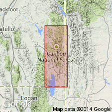
Named for town of Wayan, Bannock Co, ID on the Wasatch uplift. No type locality designated. Occupies hills east of Wayan. Divided into: 1) lower unit composed of gray limestone, dark-gray to black shale, greenish-gray sandstone and grit estimated at 2,800 ft thick; and 2) an upper unit composed chiefly of red and gray sandstone interbedded with shale, about 9,000 ft thick. Unconformably overlies Gannett group. Is fossiliferous. Neither top nor bottom of formation is well exposed. Assigned to the Lower Cretaceous?.
Source: GNU records (USGS DDS-6; Denver GNULEX).
- Usage in publication:
-
- Wayan formation*
- Modifications:
-
- Revised
- Overview
- AAPG geologic province:
-
- Wasatch uplift
- Snake River basin
Summary:
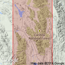
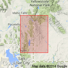
A limestone in Wayan formation, probably in the upper part though exact stratigraphic position uncertain, is named Homer limestone member for Homer Creek in the north part of the Cranes Flat quad. Geologic maps, cross sections. Wayan is exposed in the Cranes Flat, Lanes Creek, and Freedom quads, southeast ID on the Wasatch uplift and in the Snake River basin. Divisible into lower and upper units of dark gray to black shale, gray, red, to purple sandstone, some conglomerate, and some gray limestone. Fossils (pelecypods, gastropods) listed. Is 11,800 ft thick. Stratigraphic charts. Early Cretaceous? age.
Source: GNU records (USGS DDS-6; Denver GNULEX).
- Usage in publication:
-
- Wayan Formation*
- Modifications:
-
- Overview
- AAPG geologic province:
-
- Green River basin
Summary:
A western sequence in the Greater Green River basin or central part of the western WY thrust belt is divided into five formations by two units (Thomas Fork and Quealy Formations) of variegated mudstone and sandstone that have no recognized counterparts in the western sequence. These two formations may be regarded as southeastward-extending tongues of the Lower Cretaceous Wayan Formation.
Source: GNU records (USGS DDS-6; Denver GNULEX).
For more information, please contact Nancy Stamm, Geologic Names Committee Secretary.
Asterisk (*) indicates published by U.S. Geological Survey authors.
"No current usage" (†) implies that a name has been abandoned or has fallen into disuse. Former usage and, if known, replacement name given in parentheses ( ).
Slash (/) indicates name conflicts with nomenclatural guidelines (CSN, 1933; ACSN, 1961, 1970; NACSN, 1983, 2005, 2021). May be explained within brackets ([ ]).