- Usage in publication:
-
- Waxahatchee slate*
- Modifications:
-
- Named
- Dominant lithology:
-
- Slate
- AAPG geologic province:
-
- Piedmont-Blue Ridge province
Summary:
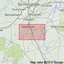
Name Waxahatchee slate introduced in this report for grayish, greenish, and bluish slate exposed on Waxahatchee Creek in Shelby Co., central AL. Includes Sawyer limestone member and a bed of sandstone near top and several beds of sandstone below. Contains much bluish fine-grained slate. Thickness probably about 5,000 ft. Underlies Brewer phyllite and is oldest formation exposed in these quads. Age is Precambrian or Paleozoic.
Source: GNU records (USGS DDS-6; Reston GNULEX).
- Usage in publication:
-
- Waxahatchee Slate
- Modifications:
-
- Revised
- AAPG geologic province:
-
- Piedmont-Blue Ridge province
Summary:
Waxahatchee Slate assigned in this report to Talladega Group. Includes Sawyer Limestone Member. Age given as Cambrian to Carboniferous.
Source: GNU records (USGS DDS-6; Reston GNULEX).
- Usage in publication:
-
- Waxahatchee Slate
- Modifications:
-
- Revised
- AAPG geologic province:
-
- Piedmont-Blue Ridge province
Summary:
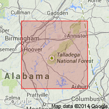
The Kahatchee Mountain Group is here named in the southwestern part of the Talladega slate belt in AL. It is the lower structural sequence in the belt and contains the Waxahatchee Slate, Sawyer Limestone, Brewer Phyllite, and Wash Creek Slate. The rocks are dominantly pelitic slate, phyllite, and metasandstone with a minor carbonate unit. Underlies the Sylacauga Marble Group or the Lay Dam Formation of the Talladega Group. The Kahatchee Mountain Group may extend farther northeast and into GA and may be correlative with the Ocoee Supergroup and Chilhowee Group in the Blue Ridge belt. Age is late Precambrian and Cambrian.
Source: GNU records (USGS DDS-6; Reston GNULEX).
- Usage in publication:
-
- Waxahatchee Formation
- Modifications:
-
- Revised
- AAPG geologic province:
-
- Piedmont-Blue Ridge province
Summary:
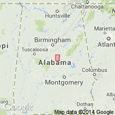
Sawyer Limestone Member is removed from the Waxahatchee and reassigned to the overlying Brewer Formation of the Kahatchee Mountain Group. Age stated here as late Precambrian.
Source: GNU records (USGS DDS-6; Reston GNULEX).
- Usage in publication:
-
- Waxahatchee Slate
- Modifications:
-
- Overview
- AAPG geologic province:
-
- Piedmont-Blue Ridge province
Summary:
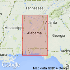
Waxahatchee Slate is basal formation of Kahatchee Mountain Group in the northern Piedmont of AL. Unit is black to grayish-green partly calcareous, fine-grained and thinly foliated slate and phyllite, weathering to grayish-orange, light-brown, or greenish-gray, with numerous thin (up to 8 ft) beds and lenses of metamorphosed very fine-grained micaceous, feldspathic sandstone, siltstone, and minor conglomerate. Age is late Precambrian(?) to Cambrian(?).
Source: GNU records (USGS DDS-6; Reston GNULEX).
- Usage in publication:
-
- Waxahatchee Slate*
- Modifications:
-
- Overview
- AAPG geologic province:
-
- Piedmont-Blue Ridge province
Summary:
Authors follow usage of Tull (1982) as Kahatchee Mountain Group of Talladega block in AL. [Individual formations not discussed, but usage is inferred.] Base of Kahatchee Mountain is not exposed, nor are any crystalline basement rocks exposed in Talladega block in AL. To the northeast in GA, Kahatchee Mountain Group may unconformably overlie Middle Proterozoic basement (if Mulberry Rock Gneiss proves to be basement). Tull (1982) suggests that Kahatchee Mountain rocks are roughly equivalent to Ocoee Supergroup and Chilhowee Group rocks. McConnell and Abrams (1984) portray northeastern end of Talladega belt, which would be Kahatchee Mountain Group, as continuous into Great Smoky Group. More recently, archaeocyathids have been found in Jumbo Dolomite (McKinney and others, 1988), which is stratigraphically below Sylacauga Marble Group of Tull (1982) and its base is interlayered with lithologies of Kahatchee Mountain Group. Jumbo is correlated with Early Cambrian Shady Dolomite of Valley and Ridge province. The Kahatchee Mountain rocks, like Ocoee rocks, are volcanic-free.
Source: GNU records (USGS DDS-6; Reston GNULEX).
- Usage in publication:
-
- Waxahatchee Slate
- Modifications:
-
- Revised
- AAPG geologic province:
-
- Piedmont-Blue Ridge province
Summary:
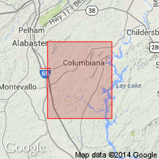
Waxahatchee Slate of Kahatchee Mountain Group is subdivided in this report into the Buxahatchee Creek Member (new) and the Long Branch Sandstone Member (new). The Buxahatchee Creek is composed of siltstones and shales and is 4,242 ft thick in the western part of the study area. The Long Branch is composed predominantly of fine-grained sandstone and is 2,494 ft thick in the Ozan quad. Rocks mapped previously as Waxahatchee by Butts (1940) in part of the Bounds Lake and Columbiana quads are here interpreted as Wash Creek Slate. The Waxahatchee correlates with the upper part of the Ocoee Supergroup in the Great Smoky Mountains. Age shown as late Precambrian(?).
Source: GNU records (USGS DDS-6; Reston GNULEX).
For more information, please contact Nancy Stamm, Geologic Names Committee Secretary.
Asterisk (*) indicates published by U.S. Geological Survey authors.
"No current usage" (†) implies that a name has been abandoned or has fallen into disuse. Former usage and, if known, replacement name given in parentheses ( ).
Slash (/) indicates name conflicts with nomenclatural guidelines (CSN, 1933; ACSN, 1961, 1970; NACSN, 1983, 2005, 2021). May be explained within brackets ([ ]).

