- Usage in publication:
-
- Wautubbee marl
- Modifications:
-
- Named
- Dominant lithology:
-
- Marl
- AAPG geologic province:
-
- Mid-Gulf Coast basin
Summary:
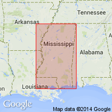
Wautubbee marl here defined as highly calcareous and fossiliferous marine marls, gray to almost white, or dark-bluish and greenish tints, where glauconite is present. Thickness about 100 ft in southeastern MS. Underlies Cockfield member of Lisbon formation and overlies, perhaps unconformably, Decatur sand member of Lisbon. Age is middle Eocene.
Source: GNU records (USGS DDS-6; Reston GNULEX).

- Usage in publication:
-
- Wautubbee marl member
- Modifications:
-
- Revised
- AAPG geologic province:
-
- Mid-Gulf Coast basin
Summary:
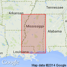
[Chart originally published in Mississippi Geol. Soc. Gdbk. 1, Feb. 1940; revised chart published in AAPG Bull. (submitted Oct. 1940).] Wautubbee marl, uppermost member of Lisbon formation of Claiborne group. Glauconitic marl, containing zones of fossiliferous calcareous sands. Thickness 60 feet. Overlies Kosciusko sand member of Lisbon; underlies Yegua formation of Claiborne group. [Age is middle Eocene.]
Source: Publication; US geologic names lexicon (USGS Bull. 1200, p. 4153).

- Usage in publication:
-
- Wautubbee marl
- Modifications:
-
- Revised
- Overview
- AAPG geologic province:
-
- Mid-Gulf Coast basin
Thomas, E.P., 1942, The Claiborne: Mississippi Geological Survey Bulletin, no. 48, 96 p.
Summary:
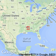
Term Wautubbee used in this report essentially as applied by Lowe. Includes all of marine section above Kosciusko and below Cockfield in eastern and central MS and its nonmarine equivalent, Shipps Creek shale, in western MS. In eastern part of State, includes (ascending) Archusa marl, Potterchitto, and Gordon Creek shale members (all new). This subdivision is impractical in central Newton Co., and formation is mapped as undifferentiated as far northwest as Yockahockany River in northwestern Leake Co. In western Holmes and Carroll Cos., tongue of carbonaceous shale lying at stratigraphic horizon of marine Wautubbee is here named Shipps Creek member. Thickness 45 to 75 ft.
Source: GNU records (USGS DDS-6; Reston GNULEX).

- Usage in publication:
-
- Wautubbee
- Modifications:
-
- Not used
- AAPG geologic province:
-
- Mid-Gulf Coast basin
Summary:
The USGS adopted Cook Mountain formation rather than Wautubbee formation for use in its publications. The Cook Mountain in this report includes (ascending) Archusa marl, Potterchitto sand, and Gordon Creek shale members, assigned by the Mississippi Geological Survey to the Wautubbee. Overlies Sparta sand (Kosciusko sand of the Mississippi Geological Survey) and underlies Cockfield formation.
Source: GNU records (USGS DDS-6; Reston GNULEX).
For more information, please contact Nancy Stamm, Geologic Names Committee Secretary.
Asterisk (*) indicates published by U.S. Geological Survey authors.
"No current usage" (†) implies that a name has been abandoned or has fallen into disuse. Former usage and, if known, replacement name given in parentheses ( ).
Slash (/) indicates name conflicts with nomenclatural guidelines (CSN, 1933; ACSN, 1961, 1970; NACSN, 1983, 2005, 2021). May be explained within brackets ([ ]).

