

- Usage in publication:
-
- Water Canyon formation
- Modifications:
-
- Original reference
- Dominant lithology:
-
- Dolomite
- AAPG geologic province:
-
- Wasatch uplift
Summary:
Pg. 1138-1139, pl. 1. Water Canyon formation. Consists of two unnamed members. Lower member essentially of compact thin-bedded silty and sandy dolomites that weather smoke gray (white) or buff. In upper member detrital content increases, and brown sandstone intraformational breccias and sandy shales are interbedded with dolomites, the only red beds in Paleozoic sequence in the quadrangle. Thickness of lower member estimated as much as 400 feet. Upper member 150 feet; missing northwest of Dry Lake. Disconformably underlies Hyrum member (new) of Jefferson formation; disconformably overlies Laketown dolomite. [Age is Early Devonian.]
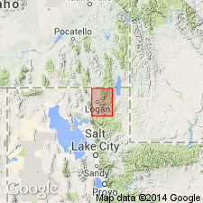
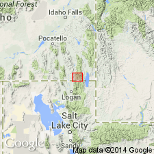
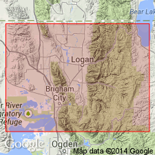
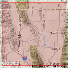
Named from tributary of Green Canyon, Logan quadrangle, UT, where, in sec. 4, T. 12 N., R. 3 E., it is well exposed.
Source: US geologic names lexicon (USGS Bull. 1200, 4147-4148).
- Usage in publication:
-
- Water Canyon formation*
- AAPG geologic province:
-
- Central Western Overthrust
Summary:
Pg. 30-32, figs. 2, 3. Water Canyon formation. Geographically extended into Preston quadrangle, Idaho.
Source: US geologic names lexicon (USGS Bull. 1200, 4147-4148).
- Usage in publication:
-
- Water Canyon formation
- Modifications:
-
- Revised
- AAPG geologic province:
-
- Wasatch uplift
Summary:
Divided into two new members: 1) Card member at base, and 2) Grassy Flat member at top in Cache Co, UT on the Wasatch uplift. Overlies Silurian Laketown dolostone; underlies Hyrum member of Jefferson formation. Basal contact placed between compact, less resistant dolostone of Water Canyon with massive granular, dark-colored resistant beds of Laketown. Upper contact placed at top of breccia which makes a conspicuous ledge at top of Water Canyon with limestone of the Jefferson. Is a fossiliferous (invertebrates, plants, fish) shallow neritic, littoral marine deposit of Early Devonian age. Isopach map. Measured sections. Ranges in thickness from 245 (east) to 683 (west) ft. Cross section.
Source: GNU records (USGS DDS-6; Denver GNULEX).
- Usage in publication:
-
- Water Canyon Formation
- Modifications:
-
- Revised
- AAPG geologic province:
-
- Wasatch uplift
- Great Basin province
Summary:
Upper contact with Samaria Limestone Member (assigned to Hyrum Formation in this report) revised. Author believes beds 1 to 5 of Beus' type, which are 276 ft thick, should be reassigned to the underlying Water Canyon Formation of Early Devonian age. This places the Samaria-Water Canyon contact at the base of the lowest limestone ledge found near Portage, Box Elder Co, UT in the Great Basin province and in Logan Canyon, Cache Co, UT on the Wasatch uplift. Columnar sections.
Source: GNU records (USGS DDS-6; Denver GNULEX).
For more information, please contact Nancy Stamm, Geologic Names Committee Secretary.
Asterisk (*) indicates published by U.S. Geological Survey authors.
"No current usage" (†) implies that a name has been abandoned or has fallen into disuse. Former usage and, if known, replacement name given in parentheses ( ).
Slash (/) indicates name conflicts with nomenclatural guidelines (CSN, 1933; ACSN, 1961, 1970; NACSN, 1983, 2005, 2021). May be explained within brackets ([ ]).