The National Geologic Map Database is migrating to a new infrastructure. We apologize for any service disruptions during this process.
|
|---|


- Usage in publication:
-
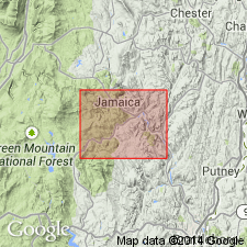
- Washington Gneiss*
- Modifications:
-
- Overview
- AAPG geologic province:
-
- New England province
Summary:
Used as Washington Gneiss of Proterozoic Y age. Subdivided into four informal units based on lithologic differences.
Source: GNU records (USGS DDS-6; Reston GNULEX).
- Usage in publication:
-
- Washington Gneiss*
- Modifications:
-
- Overview
- AAPG geologic province:
-
- New England province
Summary:
Dacitic metavolcanics are found within Washington Gneiss of Berkshire massif of MA (Ratcliffe and Zartman, 1968). They are interbedded with thick succession of rusty-weathering, quartz-pebble gneisses, calc-silicate rocks and garnet-sillimanite schist similar to, but much thicker than, the rusty-weathering gneiss and schist unit of Mount Holly Complex exposed in Green Mountains of VT. It is possible that the metadacitic and metatrondhjemitic suite of VT constitutes a lateral, south-to-north facies of the Washington Gneiss of MA.
Source: GNU records (USGS DDS-6; Reston GNULEX).
For more information, please contact Nancy Stamm, Geologic Names Committee Secretary.
Asterisk (*) indicates published by U.S. Geological Survey authors.
"No current usage" (†) implies that a name has been abandoned or has fallen into disuse. Former usage and, if known, replacement name given in parentheses ( ).
Slash (/) indicates name conflicts with nomenclatural guidelines (CSN, 1933; ACSN, 1961, 1970; NACSN, 1983, 2005, 2021). May be explained within brackets ([ ]).