- Usage in publication:
-
- Wantagh Formation
- Modifications:
-
- Named
- Dominant lithology:
-
- Clay
- Sand
- AAPG geologic province:
-
- Atlantic Coast basin
Summary:
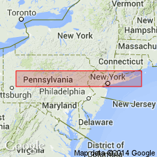
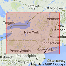
Widespread nearshore marine deposits in the subsurface of south-central Long Island and the inner continental shelf off southern Long Island, NY, are here named the Wantagh Formation. The unit was previously called the Gardiners Clay and the "twenty-foot" clay. It consists of an olive-gray, fine-grained, silty clay facies which occurs as a blanket deposit and a white to tan, dense, shelly sand facies which forms a lens beneath the Jones Beach barrier island. Unconformably overlies the Merrick Formation; unconformably underlies the Bellmore Formation. Thickness of the silty clay facies is 14.5 ft (4.4 m); thickness of the sand is 50 ft (15 m). Age is late Pleistocene (middle Wisconsinan).
Source: GNU records (USGS DDS-6; Reston GNULEX).

- Usage in publication:
-
- Wantagh Formation
- Modifications:
-
- Age modified
- AAPG geologic province:
-
- Atlantic Coast basin
Summary:
Authors believe that the Wantagh is Sangamonian, but it could be as young as middle Wisconsinan or even as old as Yarmouthian. Underlies the Bellmore Formation, which is correlated with the Harbor Hill Moraine (early Wisconsinan?).
Source: GNU records (USGS DDS-6; Reston GNULEX).
For more information, please contact Nancy Stamm, Geologic Names Committee Secretary.
Asterisk (*) indicates published by U.S. Geological Survey authors.
"No current usage" (†) implies that a name has been abandoned or has fallen into disuse. Former usage and, if known, replacement name given in parentheses ( ).
Slash (/) indicates name conflicts with nomenclatural guidelines (CSN, 1933; ACSN, 1961, 1970; NACSN, 1983, 2005, 2021). May be explained within brackets ([ ]).

