- Usage in publication:
-
- Wanakah shales
- Modifications:
-
- Named
- Dominant lithology:
-
- Shale
- AAPG geologic province:
-
- Appalachian basin
Summary:
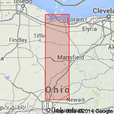
In a footnote on p. 338, author states, "The lower Hamilton shales, underlying the Encrinal limestone of western New York are now designated Wanakah shales by me." Unit is not described.
Source: GNU records (USGS DDS-6; Reston GNULEX).
- Usage in publication:
-
- Wanakah member
- Modifications:
-
- Principal reference
- Revised
- Dominant lithology:
-
- Shale
- Limestone
- AAPG geologic province:
-
- Appalachian basin
Summary:
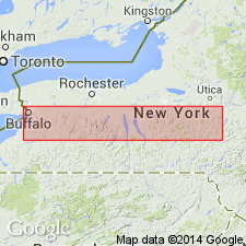
Grabau (1917) proposed the name Wanakah for the shale below the "Encrinal" of Eighteenmile Creek (Tichenor of this paper), but did not define it further. In this paper Wanakah member of Ludlowville formation is name used for the sequence beginning [below] with the STROPHULOSIA and PLEURODICTYUM beds of Grabau and terminating at top with base of Tichenor. Type section is in Wanakah and Lakewood Beach Cliffs, Lake Erie. Thus defined, it can be traced eastward to Seneca Lake. It is chiefly light and dark blue-gray shales but contains a number of thin bands of limestone (Trilobite beds), which are remarkable for their persistence for nearly 100 mi. The Wanakah member overlies Ledyard member. [Thickness of Wanakah not stated, but it appears, from section on p. 218, to range from 30 ft at Lake Erie to about 60 ft at Seneca Lake. East of Seneca Lake it corresponds to lower part of Kings Ferry member.]
Source: GNU records (USGS DDS-6; Reston GNULEX).
- Usage in publication:
-
- Wanakah Shale Member
- Modifications:
-
- Revised
- AAPG geologic province:
-
- Appalachian basin
Summary:
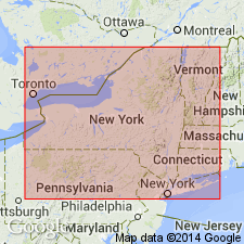
Darien Center Submember assigned to the base of the Wanakah Shale Member of the Ludlowville Formation in western NY. The Darien Center includes (ascending) Mt. Vernon, Stolle Road, Girdle Road, Darien, Fargo, Murder Creek, and Bidwell Beds, most of which were introduced by Kloc (1983: MA thesis). Stolle and Girdle Road Beds named here. Beds persist for greater than 100 km eastward from the shore of Lake Erie.
["Submember" not recognized as a formal stratigraphic rank term (CSN, 1933; ACSN, 1961, 1970; NACSN, 1983, 2005). Considered informal until formally published. The rank or lithologic term should not be capitalized.]
Source: GNU records (USGS DDS-6; Reston GNULEX).
- Usage in publication:
-
- Wanakah Member
- Modifications:
-
- Revised
- AAPG geologic province:
-
- Appalachian basin
Summary:
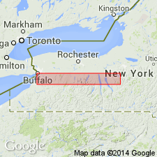
Spring Brook and Eighteen Mile Creek Members (of Sutton, 1951) of Ludlowville Formation here reduced in rank to submembers of Wanakah Member in west-central NY.
["Submember" not recognized as a formal stratigraphic rank term (CSN, 1933; ACSN, 1961, 1970; NACSN, 1983, 2005). Considered informal until formally published. The rank or lithologic term should not be capitalized.]
Source: GNU records (USGS DDS-6; Reston GNULEX).
- Usage in publication:
-
- Wanakah Member
- Modifications:
-
- Overview
- AAPG geologic province:
-
- Appalachian basin
Summary:
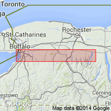
Excellent, closely spaced stream-bank exposures of the Darien Center Submember at the base of the Wanakah Member of the Ludlowville Formation occur throughout most of the study area from the Lake Erie shore to Hopewell Gully, east of Lake Canandaigua in Ontario Co, a distance of more than 100 km. Submember represents a regressive-transgressive cycle with a nearly symmetric pattern of storm bed types and faunal assemblages, including the Mt. Vernon Bed, which marks the base, and the ascending Lakeview (named in this report), Darien Coral, Murder Creek, and Bidwell beds discussed in this report.
["Submember" not recognized as a formal stratigraphic rank term (CSN, 1933; ACSN, 1961, 1970; NACSN, 1983, 2005). Considered informal until formally published. The rank or lithologic term should not be capitalized.]
Source: GNU records (USGS DDS-6; Reston GNULEX).
- Usage in publication:
-
- Wanakah Shale Member
- Modifications:
-
- Revised
- AAPG geologic province:
-
- Appalachian basin
Summary:
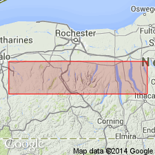
Focus of article is the strata overlying the Wanakah Shale Member. Basal bed of the Spafford Shale Member, in contact with the Wanakah is named the Limerick Road Bed in this report. Though the Wanakah is not discussed in any detail, figure shows the unit divided into (ascending) Mt. Vernon bed, a gray silty facies, the Ensenore Ravine bed, the Barnum Creek bed, the Bloomer Creek bed, and the Romulus black shale lens. Beds are not described in this report and appear to be informal. Member correlates with the interfingering Ivy Point Siltstone Member to the east. Reference for figure is Brett and others (1986: NY Museum Bulletin 457).
Source: GNU records (USGS DDS-6; Reston GNULEX).
- Usage in publication:
-
- Wanakah Shale Member*
- Modifications:
-
- Overview
- AAPG geologic province:
-
- Appalachian basin
Summary:
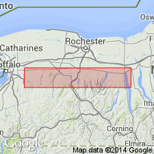
Used as Wanakah Shale Member of Ludlowville Formation in central NY. Figure 2 shows it overlain by Jaycox Shale Member of Ludlowville, or by Deep Run Shale Member or Kashong Shale Member of Moscow Formation to the west.
Source: GNU records (USGS DDS-6; Reston GNULEX).
For more information, please contact Nancy Stamm, Geologic Names Committee Secretary.
Asterisk (*) indicates published by U.S. Geological Survey authors.
"No current usage" (†) implies that a name has been abandoned or has fallen into disuse. Former usage and, if known, replacement name given in parentheses ( ).
Slash (/) indicates name conflicts with nomenclatural guidelines (CSN, 1933; ACSN, 1961, 1970; NACSN, 1983, 2005, 2021). May be explained within brackets ([ ]).

