The National Geologic Map Database is migrating to a new infrastructure. We apologize for any service disruptions during this process.
|
|---|


- Usage in publication:
-
- Walston Silt*
- Modifications:
-
- Named
- Dominant lithology:
-
- Silt
- Sand
- Clay
- AAPG geologic province:
-
- Atlantic Coast basin
Summary:
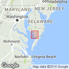
Walston Silt here named in southeastern MD. Occurs at the surface and in the subsurface. Described as a lenticular unit of sand, silty sand, sandy silt, silt, clayey silt, silty clay, and clay, with organic material. Thickness from a fraction of a foot to as much a 57 ft at reference locality in test hole north of Parsonsburg. Unconformably underlies Parsonsburg sand (new name) and unconformably overlies Beaverdam sand (new name). Age is considered Pleistocene (Yarmouth).
Source: GNU records (USGS DDS-6; Reston GNULEX).
- Usage in publication:
-
- Walston Silt*
- Modifications:
-
- Areal extent
- Age modified
- AAPG geologic province:
-
- Atlantic Coast basin
Summary:
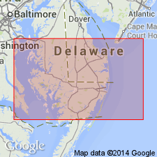
Walston Silt extended into DE. Age changed from Pleistocene to Pliocene. Underlies Omar Formation (Pleistocene) and overlies Beaverdam Sand (Pliocene).
Source: GNU records (USGS DDS-6; Reston GNULEX).
For more information, please contact Nancy Stamm, Geologic Names Committee Secretary.
Asterisk (*) indicates published by U.S. Geological Survey authors.
"No current usage" (†) implies that a name has been abandoned or has fallen into disuse. Former usage and, if known, replacement name given in parentheses ( ).
Slash (/) indicates name conflicts with nomenclatural guidelines (CSN, 1933; ACSN, 1961, 1970; NACSN, 1983, 2005, 2021). May be explained within brackets ([ ]).