- Usage in publication:
-
- Walnut Gap Volcanics*
- Modifications:
-
- Named
- Dominant lithology:
-
- Conglomerate
- Sandstone
- Andesite
- AAPG geologic province:
-
- Pedregosa basin
Summary:
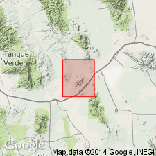
Named for Walnut Gap in the Gunnison Hills in the Pedregosa basin. Type section on Scherrer Ridge near the southeast end of the gap. Found at only three localities in addition to type. Geologic map. Lies unconformably on Concha Limestone and Scherrer Formation (Permian) of Naco group. Unconformably overlain by Glance Conglomerate of Bisbee group (Lower Cretaceous). About 350 ft thick at type. May be 1,000 ft thick elsewhere. At type consists of basal pebble conglomerate of subangular chert and sandstone fragments in a coarse sandy matrix. Ferruginous cement results in bright-red color. Interbedded locally with sandstone and andesite tuff. Basal part overlain by fine-grained, red to purple soft tuff that is interbedded with andesite breccia and conglomerate containing abundant fragments of purple andesite, and a few fragments of chert and sandstone. Some beds were water laid. Two other localities are similar to type. Is of Triassic or Jurassic age.
Source: GNU records (USGS DDS-6; Denver GNULEX).

- Usage in publication:
-
- Walnut Gap Volcanics*
- Modifications:
-
- Age modified
- AAPG geologic province:
-
- Pedregosa basin
Summary:
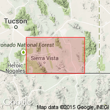
Provisionally correlated (correlation chart, fig. 2) with lower part of Canelo Hills Volcanics which are assigned a Late Triassic age. Was formerly considered Triassic or Jurassic. Is in Pedregosa basin.
Source: GNU records (USGS DDS-6; Denver GNULEX).

- Usage in publication:
-
- Walnut Gap Formation*
- Modifications:
-
- Redescribed
- Dominant lithology:
-
- Conglomerate
- Arkose
- Sandstone
- Andesite
- AAPG geologic province:
-
- Pedregosa basin
Summary:
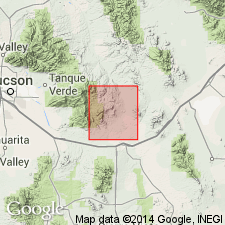
Redescribed as "Formation" rather than "Volcanics". Includes volcanic conglomerate arkose, quartzitic sandstone, and some andesite. Is at least 1,000 ft thick. Is younger than Concha Limestone of Naco Group and older than Bisbee Formation. Is of Triassic or Jurassic age.
Source: GNU records (USGS DDS-6; Denver GNULEX).
For more information, please contact Nancy Stamm, Geologic Names Committee Secretary.
Asterisk (*) indicates published by U.S. Geological Survey authors.
"No current usage" (†) implies that a name has been abandoned or has fallen into disuse. Former usage and, if known, replacement name given in parentheses ( ).
Slash (/) indicates name conflicts with nomenclatural guidelines (CSN, 1933; ACSN, 1961, 1970; NACSN, 1983, 2005, 2021). May be explained within brackets ([ ]).

