

- Usage in publication:
-
- Wallsburg Ridge Member*
- Modifications:
-
- Named
- Dominant lithology:
-
- Quartzite
- Sandstone
- Limestone
- AAPG geologic province:
-
- Uinta basin
Summary:
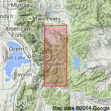
Named as a member of Oquirrh Formation in Wasatch Co, UT in the Uinta basin for Wallsburg Ridge. Type locality is in SE cor sec 27, T5S, R4E. Is a fine- to medium-grained, light gray to red quartzite, in part finely laminated with some interbedded platy light-gray limy sandstone, and cherty gray to blue-gray limestone. Some sandstone has worm-like trail markings. Is about 7,900 ft thick at type. Overlies Shingle Mill Limestone Member (new); underlies Granger Mountain Member (new), both of Oquirrh. Fusulinids of Missourian to Virgilian, or Late Pennsylvanian age. Considered the correlative of the Bingham Mine Formation.
Source: GNU records (USGS DDS-6; Denver GNULEX).
For more information, please contact Nancy Stamm, Geologic Names Committee Secretary.
Asterisk (*) indicates published by U.S. Geological Survey authors.
"No current usage" (†) implies that a name has been abandoned or has fallen into disuse. Former usage and, if known, replacement name given in parentheses ( ).
Slash (/) indicates name conflicts with nomenclatural guidelines (CSN, 1933; ACSN, 1961, 1970; NACSN, 1983, 2005, 2021). May be explained within brackets ([ ]).