The National Geologic Map Database is migrating to a new infrastructure. We apologize for any service disruptions during this process.
|
|---|


- Usage in publication:
-
- Walls Ferry Limestone*
- Modifications:
-
- Named
- Dominant lithology:
-
- Limestone
- AAPG geologic province:
-
- Arkoma basin
Summary:
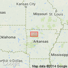
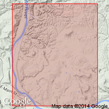
Named. Type locality is on east side of the White River, 5/8 mi south of Walls Ferry and about 12 mi west-northwest of Batesville, Independence Co, AR in the Arkoma basin. Measured sections from or near Glenn Creek. Overlies Gaylor sandstone or Gaylor equivalent. Underlies St. Joe? limestone member of Boone formation. Is 0.2 ft thick in one section and 1.1 ft thick in the other. Described as a yellowish, buff-gray to buff, coarse to fine- to medium-grained, hard, brittle, fossiliferous limestone. Contains crinoids, trilobites, brachiopods, mollusks, fish plates. Of late Kinderhookian or Early Mississippian age. Has not been identified north or south of Glenn Creek sections.
Source: GNU records (USGS DDS-6; Denver GNULEX).
- Usage in publication:
-
- Walls Ferry Limestone Bed*
- Modifications:
-
- Revised
- Age modified
- AAPG geologic province:
-
- Arkoma basin
Summary:
Reduced in rank to Walls Ferry Limestone Bed of St. Joe Limestone Member of Boone Formation in Independence Co, AR in the Arkoma basin. Differs from St. Joe in that Walls Ferry is buff-gray, fine-grained, fossiliferous limestone whereas St. Joe is pinkish- to reddish-gray encrinital limestone of early Osagean age. Walls Ferry is usually present where St. Joe is not well developed or not present at all. Another Walls Ferry locality, other than the two described in Gordon (1964), found in a tributary of Polk bayou. Megafauna includes brachiopods, productoid, pelecypod, gastropod, cephalopod, trilobites (listed). Lower 11 cm belongs to Kinderhookian; upper 21 cm belongs to Osagean, an age change from Gordon (1964). [Relationship to St. Joe not discussed.]
Source: GNU records (USGS DDS-6; Denver GNULEX).
For more information, please contact Nancy Stamm, Geologic Names Committee Secretary.
Asterisk (*) indicates published by U.S. Geological Survey authors.
"No current usage" (†) implies that a name has been abandoned or has fallen into disuse. Former usage and, if known, replacement name given in parentheses ( ).
Slash (/) indicates name conflicts with nomenclatural guidelines (CSN, 1933; ACSN, 1961, 1970; NACSN, 1983, 2005, 2021). May be explained within brackets ([ ]).