

- Usage in publication:
-
- Waldrip-Cisco series
- Modifications:
-
- Overview
- Dominant lithology:
-
- Clay
- Shale
- Limestone
- Coal
- AAPG geologic province:
-
- Bend arch
- Fort Worth syncline
Summary:
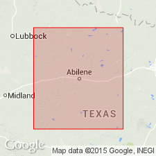
Pl. 3, p. lxvii. Waldrip-Cisco series. [=Waldrip division of Tarr (1890) and Cisco division of Cummins (1891).] Alternating clays, shales, fire clays, and limestones, with coal seams. Coal seams exposed from Waldrip, along Colorado River, to Montague County; more sulphurous in places. Overlies Brownwood-Ranger series and underlies Coleman-Albany series. Study area in central basin, approximately from Colorado River north to Red River, north-central Texas. Age is Carboniferous (Coal Measures).
Source: US geologic names lexicon (USGS Bull. 896, p. 2264); supplemental information from GNU records (USGS DDS-6; Denver GNULEX).
- Usage in publication:
-
- Waldrip division
- Modifications:
-
- Principal reference
- Dominant lithology:
-
- Sandstone
- Conglomerate
- Clay
- Shale
- Limestone
- AAPG geologic province:
-
- Bend arch
Summary:
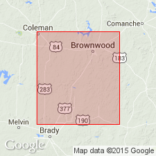
Pg. 207-210. Waldrip coal division. Alternating clays, shales, sandstones, and limestones, 300 feet thick, with basal sandstone 100 to 500 feet thick. Overlies Brownwood division and underlies Coleman division. Age is Pennsylvanian.
[Named from Waldrip, McCulloch Co., Colorado River region, central TX.]
Source: US geologic names lexicon (USGS Bull. 896, p. 2264).
For more information, please contact Nancy Stamm, Geologic Names Committee Secretary.
Asterisk (*) indicates published by U.S. Geological Survey authors.
"No current usage" (†) implies that a name has been abandoned or has fallen into disuse. Former usage and, if known, replacement name given in parentheses ( ).
Slash (/) indicates name conflicts with nomenclatural guidelines (CSN, 1933; ACSN, 1961, 1970; NACSN, 1983, 2005, 2021). May be explained within brackets ([ ]).