The National Geologic Map Database is migrating to a new infrastructure. We apologize for any service disruptions during this process.
|
|---|


- Usage in publication:
-
- Wahoo Creek Formation*
- Modifications:
-
- Named
- Dominant lithology:
-
- Schist
- Amphibolite
- Gneiss
- AAPG geologic province:
-
- Piedmont-Blue Ridge province
Summary:
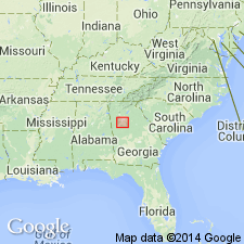
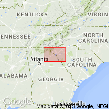
The Wahoo Creek Formation of the Atlanta Group, here named in the Newnan-Tucker synform near Atlanta, GA, consists of a nearly white, fine- to medium-grained, slabby gneiss. Distinctive lithologies in the Wahoo Creek are purple-pink weathering schist and amphibolite in the lower 15- to 30-m, and very thinly layered slabby calc-silicate gneiss. Sharply and conformably overlies the Clairmont and Senoia Formations; sharply and conformably underlies the Stonewall and Clarkston Formations. Thickness is estimated at 300 to 800 m. Age is Late Proterozoic and (or) early Paleozoic.
Source: GNU records (USGS DDS-6; Reston GNULEX).

- Usage in publication:
-
- Wahoo Creek Formation*
- Modifications:
-
- Revised
- Age modified
- AAPG geologic province:
-
- Piedmont-Blue Ridge province
Summary:
The Wahoo Creek Formation is removed from the Atlanta Group, here abandoned. It comprises the Wahoo Creek thrust sheet and consists of thinly layered gneisses and schists. It structurally overlies the Clairmont Formation. Age is Late Proterozoic to Early Ordovician(?).
Source: GNU records (USGS DDS-6; Reston GNULEX).
- Usage in publication:
-
- Wahoo Creek Formation*
- Modifications:
-
- Overview
- AAPG geologic province:
-
- Piedmont-Blue Ridge province
Summary:
Rocks mapped as unnamed calc-silicate gneiss and schist in Six Mile thrust sheet are lithologically similar to Wahoo Creek Formation of Higgins and Atkins (1981), but are commonly more schistose.
Source: GNU records (USGS DDS-6; Reston GNULEX).

- Usage in publication:
-
- Wahoo Creek Formation*
- Modifications:
-
- Age modified
- AAPG geologic province:
-
- Piedmont-Blue Ridge province
Summary:
Wahoo Creek Formation of the allochthonous assemblage is changed to Late Proterozoic(?) to Middle Ordovician(?) based on a more conservative theory that the allochthonous rocks are 1) probably not older than Late Proterozoic because they are not part of Middle Proterozoic (Grenvillian) basement and 2) they could be as young, but not younger than, the time marking the beginning of closure of the ocean they originated in, as set by the slope reversal marked by deposition of Middle Ordovician Rockmart Slate upon unconformity at top of Upper Cambrian to Middle(?) Ordovician Knox Group and Middle Ordovician Lenoir Limestone.
Source: GNU records (USGS DDS-6; Reston GNULEX).
For more information, please contact Nancy Stamm, Geologic Names Committee Secretary.
Asterisk (*) indicates published by U.S. Geological Survey authors.
"No current usage" (†) implies that a name has been abandoned or has fallen into disuse. Former usage and, if known, replacement name given in parentheses ( ).
Slash (/) indicates name conflicts with nomenclatural guidelines (CSN, 1933; ACSN, 1961, 1970; NACSN, 1983, 2005, 2021). May be explained within brackets ([ ]).