

- Usage in publication:
-
- Volcano Peak Group
- Modifications:
-
- Named
- AAPG geologic province:
-
- Great Basin province
Summary:
Volcano Peak Group. Is divided into the revised Late Triassic Gabbs Formation, which includes the Nun Mine, Mount Hyatt, and Muller Canyon Members (all new), and the Early Jurassic Sunrise Formation, which includes the Ferguson Hill, Five Card Draw, New York Canyon, Joker Peak, and Mina Peak Members (all new). Conformably overlies the Luning Formation; gradationally underlies the Dunlap Formation. Provides a record of nearly continuous marine sedimentation across the Triassic-Jurassic boundary and probably yields the most complete ammonite-bearing sequence anywhere. The Muller Canyon-Ferguson Hill section at Ferguson Hill, is proposed as the stratotype for the Triassic-Jurassic System boundary.
See also entries under individual formations and members for more detailed descriptions.
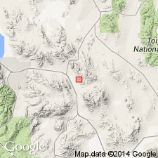
Type locality: Volcano Peak, Gabbs Valley Range, Mineral Co., NV.
Source: US geologic names lexicon (USGS Bull. 1565, p. 339-340); GNU records (USGS DDS-6; Menlo GNULEX).
For more information, please contact Nancy Stamm, Geologic Names Committee Secretary.
Asterisk (*) indicates published by U.S. Geological Survey authors.
"No current usage" (†) implies that a name has been abandoned or has fallen into disuse. Former usage and, if known, replacement name given in parentheses ( ).
Slash (/) indicates name conflicts with nomenclatural guidelines (CSN, 1933; ACSN, 1961, 1970; NACSN, 1983, 2005, 2021). May be explained within brackets ([ ]).