

- Usage in publication:
-
- Virginian Ridge formation
- Modifications:
-
- Named
- Biostratigraphic dating
- Dominant lithology:
-
- Siltstone
- Graywacke
- Conglomerate
- AAPG geologic province:
-
- Northern Cascade Range-Okanagan province
Summary:
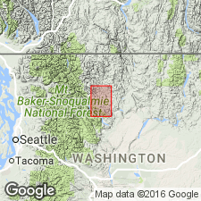
Named for Virginian Ridge in northwest part of Methow [30'] quad between Wolfe Creek and west fork of Methow River, Okanogan Co, WA, which is designated type locality. Can be traced 27 mi northwest to Harts Pass. Is generally composed of spheroidally weathered black to dark greenish siltstone locally interbedded with dark graywacke, with at least 5 beds of rounded chert- and vein-quartz-pebble conglomerate. Approximately 12,000 ft section can be measured above basal conglomerate that ranges from few hundred to as much as 1000 ft thick. Unconformably overlies eroded Newby formation (new) and contains much recognizable clastic material from that unit. Is gradationally overlain by Winthrop sandstone. Fossils found above basal conglomerate 3 mi southwest of Winthrop indicate Cretaceous and/or mid-Cretaceous age.
Source: GNU records (USGS DDS-6; Menlo GNULEX).
- Usage in publication:
-
- Virginian Ridge Formation
- Modifications:
-
- Age modified
- Biostratigraphic dating
- AAPG geologic province:
-
- Cascades province
- Okanogan province
Summary:
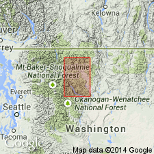
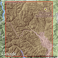
Type section designated at type locality, secs.35-36 T35N R20E between Wolf Creek and Methow River [Thompson Ridge 7.5' quad] Okanogan Co, WA. Thickness estimated at 7l60 ft at type. Partial measured section at type included in report. Unconformably overlies Newby Group south of 48 deg 30'N and Harts Pass (new), Goat Creek (new), and Panther Creek (new) Formations north of this line. Fossils from 3 localities indicate Albian and Cenomanian age [Early and Late Cretaceous]. Overlying beds intruded by granitoid dike of radiometric age of 86 Ma places younger limit on age of unit.
Source: GNU records (USGS DDS-6; Menlo GNULEX).
- Usage in publication:
-
- Virginian Ridge Formation
- Modifications:
-
- Revised
- Overview
- AAPG geologic province:
-
- Cascades province
- Okanogan province
Summary:
Unit subdivided into (ascending): Patterson Lake, Slate Peak, and Devil's Pass Members. Geologic sketch map and cross section show members interfinger laterally and vertically. Fence diagram of units in Methow basin and overview of relationships of members of Virginian Ridge Formation with Winthrop and Midnight Peak Formations included in report. Virginian Ridge Formation is gradationally overlain by and interfingers with Winthrop Formation and possibly Midnight Peak Formation (Campanian age).
Source: GNU records (USGS DDS-6; Menlo GNULEX).
For more information, please contact Nancy Stamm, Geologic Names Committee Secretary.
Asterisk (*) indicates published by U.S. Geological Survey authors.
"No current usage" (†) implies that a name has been abandoned or has fallen into disuse. Former usage and, if known, replacement name given in parentheses ( ).
Slash (/) indicates name conflicts with nomenclatural guidelines (CSN, 1933; ACSN, 1961, 1970; NACSN, 1983, 2005, 2021). May be explained within brackets ([ ]).