- Usage in publication:
-
- Vinita formation
- Modifications:
-
- Named
- Dominant lithology:
-
- Shale
- Sandstone
- Coal
- Limestone
- AAPG geologic province:
-
- Chautauqua platform
Summary:
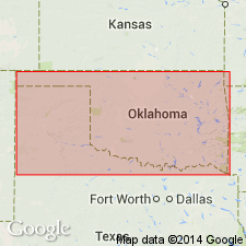
Named as only formation in the Muskogee group; named for the town of Vinita, Craig Co, OK, Chautauqua platform. Much work remains to be done on this formation; author believes that subsequent study will show this formation to be composed of at least four units--probably a lower shale, a massive sandstone, a succession of shales and sandstones, and upper shale. No type locality designated. In northeastern OK, occurs as a belt varying in width from 12 to 30 miles and extending from the KS line near Chetopa southwest to the Arkansas River. Is widely exposed in the vicinity of Vinita, Claremore, Wagoner and along lower course of the Verdigris River. Because of presence of heavy sandstones, is found as a rough surface over much of the area. Consists of a succession of shales with interstratified sandstones, thin beds of coal and lenticular limestones. Is about 1,000 ft thick at Pryor Creek. Overlies Boone limestone and underlies Claremore formation (new) of the Tulsa group. Measured section. Stratigraphic chart. Of Pennsylvanian age.
Source: GNU records (USGS DDS-6; Denver GNULEX).
For more information, please contact Nancy Stamm, Geologic Names Committee Secretary.
Asterisk (*) indicates published by U.S. Geological Survey authors.
"No current usage" (†) implies that a name has been abandoned or has fallen into disuse. Former usage and, if known, replacement name given in parentheses ( ).
Slash (/) indicates name conflicts with nomenclatural guidelines (CSN, 1933; ACSN, 1961, 1970; NACSN, 1983, 2005, 2021). May be explained within brackets ([ ]).

