- Usage in publication:
-
- Vinini formation*
- Modifications:
-
- Original reference
- Dominant lithology:
-
- Quartzite
- Sandstone
- Shale
- AAPG geologic province:
-
- Great Basin province
Summary:
Pg. 1693-1698; 1941 [abs], GSA Bull., v. 52, no. 12, pt. 2, p. 1953. Vinini formation. Quartzites, calcareous sandstones, cherty shales, cherts, and andesite flows and tuffs. Present in low-angle thrust plate above Pogonip limestone, Eureka quartzite, and Hanson Creek limestone in Roberts Mountains area. Vinini embraces at least two and possibly three formational divisions; for purposes of this report, divided into lower and upper divisions. Age is Lower and Middle Ordovician; established on basis of graptolites.
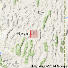
Named from exposures along Vinini Creek, eastern slope of Roberts Creek Mountain, 25 mi northwest of Eureka, Roberts Mountains quadrangle, central NV.
Source: US geologic names lexicon (USGS Bull. 1200, p. 4083-4084).

- Usage in publication:
-
- Vinini formation*
- Modifications:
-
- Areal extent
- AAPG geologic province:
-
- Great Basin province
Summary:
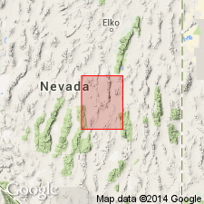
Pg. 34-36. Vinini formation. Discussed in stratigraphic section in vicinity of Eureka, [Nevada]. Formation has been folded and cut by local minor thrust faults; both folds and thrust faults seem to be transgressed by unconformity at base of overlying Permian sequence. Age is Lower and Middle Ordovician.
Source: US geologic names lexicon (USGS Bull. 1200, p. 4083-4084).

- Usage in publication:
-
- Vinini Formation*
- Modifications:
-
- Geochronologic dating
- AAPG geologic province:
-
- Great Basin province
Summary:
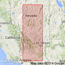
Pg. 22, geologic time scale (inside front cover). Vinini Formation. Quartzite sample from Ophir Canyon Mine, Toquima Range, Wildcat Peak quadrangle, Lander County, Nevada, yielded a Pb-alpha age of 2,190 +/-320 Ma (zircon), indicating average age of source rock [Precambrian X]. Age published by Ketner, 1977 (SEPM, Pac. Coast Paleogeog. Symp); recalculated using decay constants of Steiger and Jager, 1977 (Earth Planet. Sci. Letters, v. 36, p. 359-362).
Source: Publication.

- Usage in publication:
-
- Vinini Formation*
- Modifications:
-
- Geochronologic dating
- AAPG geologic province:
-
- Great Basin province
Summary:
Pg. 6, geologic time scale (inside front cover). Sample from a diorite sill that intrudes Vinini Formation (Ordovician). K-Ar age on biotite 74.6 +/-2.7 Ma [Late Cretaceous]. Sample no. 80FP-69 (Poole and Claypool, 1984, RMAG Field Conf. Gdbk., p. 179-229). Sample locality: near head of Lone Mountain Creek on south shoulder of dirt road in canyon, Lat. 41 deg. 06 min. 05 sec. N., Long. 116 deg. 01 min. 06 sec. W., in NE/4 NW/4 sec. 16, T. 37 N., R. 53 E., Blue Basin 7.5-min quadrangle, Elko Co., NV. Collected by F.G. Poole. Age determined by USGS personnel in Denver, CO (R.F. Marvin, H.H. Mehnert, E.A. Brandt). Decay constants, recommended by the IUGS Subcommission on Geochronology (Steiger and Jager, 1977, Earth and Planetary Science Letters, v. 36, p. 359-362) are used.
Source: Publication.
For more information, please contact Nancy Stamm, Geologic Names Committee Secretary.
Asterisk (*) indicates published by U.S. Geological Survey authors.
"No current usage" (†) implies that a name has been abandoned or has fallen into disuse. Former usage and, if known, replacement name given in parentheses ( ).
Slash (/) indicates name conflicts with nomenclatural guidelines (CSN, 1933; ACSN, 1961, 1970; NACSN, 1983, 2005, 2021). May be explained within brackets ([ ]).

