

- Usage in publication:
-
- Vienna limestone
- Modifications:
-
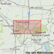
- Named
- Dominant lithology:
-
- Limestone
- Chert
- Shale
- AAPG geologic province:
-
- Illinois basin
Summary:
Named Vienna limestone. "Exhibits two rather distinct facies, an exceedingly siliceous limestone in the lower portion of the formation, and a shale member above. The silica is, in part, in the form of chert layers, and, in part, is finely disseminated through the limestone. The chert of the formation is quite persistent in character, the beds commonly being from one to four inches thick and quite regular. The shales of the Vienna are black, fissile, and noncalcareous." Maximum thickness is 70 ft. Average thickness is probably about 60 ft. Age is Late Mississippian (Chester Series). Underlain by Tar Springs sandstone; overlain by Waltersburg sandstone.
Source: GNU records (USGS DDS-6; Reston GNULEX).
- Usage in publication:
-
- Vienna Limestone*
- Modifications:
-
- Overview
- AAPG geologic province:
-
- Illinois basin
Summary:
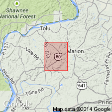
Designated Vienna Limestone in westernmost Kentucky. "Limestone, medium- to dark-gray, generally finely crystalline, argillaceous; contains some fossil fragments; dolomitic and siliceous in places, and gray chert weathers out. Some thin, dark-gray shale beds occur near top and contain abundant fossil fragments." Thickness is 15 to 20 ft. Underlain by Tar Springs Sandstone; overlain by Waltersburg Sandstone.
Source: GNU records (USGS DDS-6; Reston GNULEX).
- Usage in publication:
-
- Vienna Limestone Member*
- Modifications:
-
- Revised
- AAPG geologic province:
-
- Illinois basin
Summary:
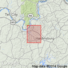
Rank changed to Vienna Limestone Member of Buffalo Wallow Formation. "Limestone, brown-weathering, coarse-grained, medium-bedded; consists largely of fossil fragments; excellent marker horizon." Thickness is 2 to 5 ft. Underlain by Tar Springs Formation: overlain by upper parts of Buffalo Wallow Formation.
Source: GNU records (USGS DDS-6; Reston GNULEX).
- Usage in publication:
-
- Vienna Limestone Member*
- Modifications:
-
- Revised
- AAPG geologic province:
-
- Illinois basin
Summary:
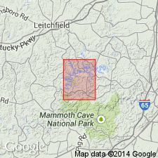
Vienna Limestone Member assigned to Leitchfield Formation. "Limestone, light-gray to medium-gray, dense and very fine grained to coarse-grained; predominantly medium to thick bedded; sparse fossil fragments include brachiopods, horn corals, crinoid stems. Characteristically, weathered surfaces are smooth and brown with scraggly chert present locally. Locally, position of unit identified by angular blocks of dense chert, commonly oolitic, containing internal and external molds of fossil fragments." Thickness is 0 to 20+ ft. Underlain and overlain by lower and upper parts of the Leitchfield Formation.
Source: GNU records (USGS DDS-6; Reston GNULEX).

- Usage in publication:
-
- Vienna Limestone
- Modifications:
-
- Overview
- AAPG geologic province:
-
- Illinois basin
Summary:
Current (1975) usage of Illinois Geological Survey is Vienna Limestone. In IL, composed of very fossiliferous (mostly crinoid fragments) brownish gray limestone with dark brown chert on surface exposures. In places, thin beds and partings of shale. Modern usage excludes overlying unit originally included by Weller (1920). Commonly 3 to 4 ft thick. Occurs in southernmost part of State. Underlain by Tar Springs Sandstone; overlain by Waltersburg Formation.
Source: GNU records (USGS DDS-6; Reston GNULEX).

- Usage in publication:
-
- Vienna Limestone
- Modifications:
-
- Overview
- AAPG geologic province:
-
- Illinois basin
Summary:
Current (1986) usage of Indiana Geological Survey is Vienna Limestone Member of Branchville Formation of Buffalo Wallow Group on surface and Vienna Limestone of Buffalo Wallow Group in subsurface. In IN commonly a single bed of light-colored fossiliferous limestone 1 to 5 ft thick. Occurs in outcrop in Perry and Crawford Cos., southernmost IN.
Source: GNU records (USGS DDS-6; Reston GNULEX).
- Usage in publication:
-
- Vienna Limestone
- Modifications:
-
- Overview
- AAPG geologic province:
-
- Illinois basin
Summary:
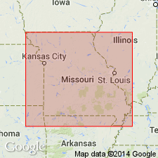
Current (1986) usage of Missouri Geological Survey is Vienna Limestone. In MO, it is present on only a few hilltops along the Mississippi River bluffs in east-central Perry Co. It is represented by loose, residual fragments of dark colored chert and spongy, siliceous, highly weathered limestone. Underlain by Tar Springs Sandstone.
Source: GNU records (USGS DDS-6; Reston GNULEX).
- Usage in publication:
-
- Vienna Limestone
- Modifications:
-
- Revised
- AAPG geologic province:
-
- Illinois basin
Summary:
The Pope Group, here revised from Megagroup and apparently reinstated, comprises strata from the base of the Aux Vases Sandstone to the top of the Kinkaid Formation, which includes the Vienna Limestone. According to authors, "The Pope Group is a lithostratigraphic unit distinct from its chronostratigraphic counterpart, the Chesterian Series." The lower boundaries of the two differ slightly. The group is about 1,425 ft thick in the Waltersburg quad, but the lowermost formations, from the Aux Vases Sandstone up to the Fraileys Shale Member of the Golconda Formation do not crop out. This interval is 384 ft thick in the Austin Roberts No. 1 Well. [See subunit list in index portion of Pope summary record. Publication does not name the units between the Aux Vases and the Fraileys and therefore these have not been included in the list.]
Source: GNU records (USGS DDS-6; Reston GNULEX).
For more information, please contact Nancy Stamm, Geologic Names Committee Secretary.
Asterisk (*) indicates published by U.S. Geological Survey authors.
"No current usage" (†) implies that a name has been abandoned or has fallen into disuse. Former usage and, if known, replacement name given in parentheses ( ).
Slash (/) indicates name conflicts with nomenclatural guidelines (CSN, 1933; ACSN, 1961, 1970; NACSN, 1983, 2005, 2021). May be explained within brackets ([ ]).