

- Usage in publication:
-
- Victorio Peak member
- Modifications:
-
- Original reference
- Dominant lithology:
-
- Limestone
- AAPG geologic province:
-
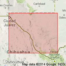
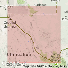
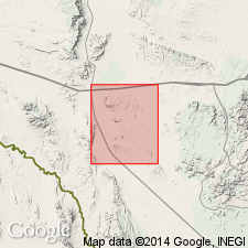
- Permian basin
Summary:
Pg. 921, 922, 925. Victorio Peak member of Leonard formation. The gray limestone unconformably below Delaware Mountain sandstone [a part only of Delaware Mountain formation] has thickness of 500 to 1,000 feet, and contains brachiopod PRODUCTUS IVESI and other forms which serve to correlate it with upper part of the Leonard on one hand and with the San Andres[?] on the other. It is here proposed to call it Victorio Peak member of Leonard formation, because of prominent exposures at summit of mountain of that name, which is a conspicuous promontory of Sierra Diablo scarp. Below it is Bone Canyon member (new) [later Bone Spring limestone]. Is absent in Guadalupe Mountains, but a short distance north of Bone Canyon, on west side of Guadalupe Mountains, it wedges into the section and separates Bone Canyon member from Delaware Mountain sandstone. [This limestone and the Bone Spring limestone were originally included in Delaware Mountain formation, but are now excluded from the Delaware Mountain. See also entry under Delaware Mountain formation.]
Source: US geologic names lexicon (USGS Bull. 896, p. 2247-2248).
- Usage in publication:
-
- Victorio Peak massive member*
- Modifications:
-
- Revised
- AAPG geologic province:
-
- Permian basin
Summary:
Pg. 731, 755-768. Designated the Victorio Peak deposits as Victorio Peak massive member of Bone Spring limestone. This is designated approved by [the USGS].
Source: US geologic names lexicon (USGS Bull. 896, p. 2247-2248).
- Usage in publication:
-
- Victorio Peak gray member*
- Modifications:
-
- Revised
- AAPG geologic province:
-
- Permian basin
Summary:
Pg. 569, pl. 2; 1948, USGS Prof. Paper 215, p. 16-17, pl. 3. Referred to as Victorio Peak gray member of Bone Spring limestone. Consists of gray, calcitic limestone in thick, fairly even beds, 500 to more than 1,000 feet thick. Overlies unnamed black limestones in lower part of formation; underlies Cutoff shaly member (new).
Source: US geologic names lexicon (USGS Bull. 1200, p. 4077-4078).
- Usage in publication:
-
- Victorio Peak limestone
- Modifications:
-
- Revised
- AAPG geologic province:
-
- Permian basin
Summary:
Victorio Peak formation described in Wylie Mountains and vicinity, Texas. Composed dominantly of dolomite. Mapped in four units; basal thin-bedded marly limestone; limestone member; marl member; dolomite member. Thickness 1,600 feet. Overlies Hueco limestone; underlies Seven Rivers limestone. Age is Permian (Leonard-Guadalupe).
Source: US geologic names lexicon (USGS Bull. 1200, p. 4077-4078).
- Usage in publication:
-
- Victorio Peak gray member
- Modifications:
-
- Areal extent
- AAPG geologic province:
-
- Permian basin
Summary:
Pg. 12-13, 62-63, pl. 1, strat. sections. Victorio Peak gray member mapped and described in Otero County, New Mexico.
Source: US geologic names lexicon (USGS Bull. 1200, p. 4077-4078).
For more information, please contact Nancy Stamm, Geologic Names Committee Secretary.
Asterisk (*) indicates published by U.S. Geological Survey authors.
"No current usage" (†) implies that a name has been abandoned or has fallen into disuse. Former usage and, if known, replacement name given in parentheses ( ).
Slash (/) indicates name conflicts with nomenclatural guidelines (CSN, 1933; ACSN, 1961, 1970; NACSN, 1983, 2005, 2021). May be explained within brackets ([ ]).