- Usage in publication:
-
- Vicks Peak Tuff
- Modifications:
-
- Reference
- Redescribed
- Geochronologic dating
- Dominant lithology:
-
- Tuff
- AAPG geologic province:
-
- Orogrande basin
Summary:
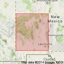
Reference section located in southern Bear Mountains designated in this report, Socorro Co, NM, Orogrande basin. Section is approximately 6 mi north of Magdalena and 2.5 mi southeast of Bear Springs, west slope hogback 0.8 mi south of Cibola National Forest road 506, S1/2 sec 22, T1S, R4W. No type locality designated in earlier reports, but none well established. Present in southern San Mateo, Datil, Gallinas, Bear, Lemitar, and Magdalena Mountains, and Joyita Hills. Formerly called Vicks Peak Rhyolite. Composed of rhyolite ash-flow tuff that is densely welded, crystal poor and quartz poor. Is a multiple-flow simple cooling unit 0-800 ft thick.
Source: GNU records (USGS DDS-6; Denver GNULEX).

- Usage in publication:
-
- Vicks Peak Tuff
- Modifications:
-
- Geochronologic dating
- AAPG geologic province:
-
- Basin-and-Range province
Summary:
Has a 40Ar/39Ar age of 28.46 m.y., [or Oligocene], in the Mogollon-Datil volcanic field, Basin-and-Range province.
Source: GNU records (USGS DDS-6; Denver GNULEX).

- Usage in publication:
-
- Vicks Peak Tuff*
- Modifications:
-
- Overview
- Geochronologic dating
- AAPG geologic province:
-
- Basin-and-Range province
Summary:
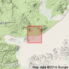
Is distal outflow from the Nogal Canyon caldera at southern end of San Mateo Mountains. Is mapped in Horse Mountain West quadrangle, Catron Co, NM, in eastern part of Basin-and-Range province. Is light-gray to tan or nearly white ash-flow tuff; has gray, vapor phase altered pumice lapilli in a fine-grained vitroclastic matrix containing sparse quartz and sanidine crystals 1 mm or smaller, and sparse small lithic fragments. Identified by stratigraphic position, paleomagnetic signature (McIntosh and others, 1986), and petrography. Is 0-15 meters thick. Isotopic dating: 40Ar/39Ar age is 28.46 Ma, Oligocene.
Source: GNU records (USGS DDS-6; Denver GNULEX).

- Usage in publication:
-
- Vicks Peak Tuff*
- Modifications:
-
- Areal extent
- Overview
- Paleomagnetics
Summary:
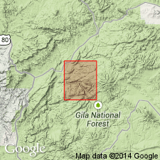
Mapped in Milligan Mountain quad, Catron Co, southwestern NM, Basin-and-Range province, where it and older Davis Canyon Tuff replace Tularosa Canyon Rhyolite (abandoned). Source is Nogal Canyon cauldron in southern San Mateo Mountains about 100 km to east of quad. Mapped undivided with Squirrel Springs Canyon Andesite in northwest part of quad, west of Tularosa River. Thickness ranges up to 10 m. Vicks Peak has reverse paleomagnetic polarity; paleomagnetic data (table 3). Dated by other workers at 28.6 Ma.
Source: GNU records (USGS DDS-6; Denver GNULEX).
For more information, please contact Nancy Stamm, Geologic Names Committee Secretary.
Asterisk (*) indicates published by U.S. Geological Survey authors.
"No current usage" (†) implies that a name has been abandoned or has fallen into disuse. Former usage and, if known, replacement name given in parentheses ( ).
Slash (/) indicates name conflicts with nomenclatural guidelines (CSN, 1933; ACSN, 1961, 1970; NACSN, 1983, 2005, 2021). May be explained within brackets ([ ]).

