The National Geologic Map Database is migrating to a new infrastructure. We apologize for any service disruptions during this process.
|
|---|


- Usage in publication:
-
- Vermejo formation*
- Modifications:
-
- Named
- Dominant lithology:
-
- Sandstone
- Shale
- Coal
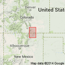
- AAPG geologic province:
-
- Las Vegas-Raton basin
Summary:
These rocks were formerly included in Hayden's (1869) Raton Hills group. Named for exposures in Vermejo Park (its type locality), Colfax Co, NM, Las Vegas-Raton basin. Section 360+ ft thick measured in sec 6, T31N, R19E where Vermejo overlies Trinidad sandstone and unconformably underlies Raton formation (revised). Lowest Vermejo is usually a shale, but may include a shaly friable sandstone such as in the measured section. Upper contact marked by massive conglomerate of Raton. At the measured section, consists of white sandstone, dark drab shale, and coal; individual sandstone beds there may be coarse grained, friable, massive; individual shale beds may be sandy or carbonaceous. Reaches its maximum thickness of 400 ft at Cornell, Las Animas Co, CO; thins to about 31 ft on the Cuchara River which runs through Walsenburg, CO; the easternmost locality where recognized is in San Francisco Canyon, northeast side Raton Mesa in CO; is 10 ft thick at Ute Park, at the southwest edge of Raton Mesa. In most parts of the Raton field, the sandstones are gray, soft, and friable; the shales vary from buff, tan to black; and the coal is bituminous. Cross sections, measured sections. Fossil flora listed. Of Late Cretaceous, Montana age. Stratigraphic table.
Source: GNU records (USGS DDS-6; Denver GNULEX).
- Usage in publication:
-
- Vermejo formation*
- Modifications:
-
- Revised
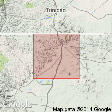
- AAPG geologic province:
-
- Las Vegas-Raton basin
Summary:
Revised in that a 0-50 ft thick white, massive cross-bedded sandstone 10 to 50+ ft above base of Vermejo named the Rail Canyon sandstone member. The new member rests unconformably above unnamed shale and sandstone of the Vermejo. Underlies unnamed sandstone and shale of the Vermejo. Measured sections; cross sections; geologic map. The formation mapped as a thin (0-200 ft thick) band from the southwest edge of map to the north-central part of map in Colfax Co, NM in the Las Vegas-Raton basin where it lies above the Trinidad sandstone and below the Raton formation. Thins eastward. Consists in report area primarily of dark shale and bituminous coking coal, and some gray friable sandstone. Many fossil leaves.
Source: GNU records (USGS DDS-6; Denver GNULEX).
- Usage in publication:
-
- Vermejo formation*
- Modifications:
-
- Areal extent
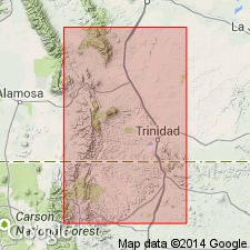
- AAPG geologic province:
-
- Las Vegas-Raton basin
Summary:
Includes an isopach map (fig 5) of the Late Cretaceous Vermejo formation for the area south of Walsenburg, CO, and north of Cimarron, NM in the Las Vegas-Raton basin.
Source: GNU records (USGS DDS-6; Denver GNULEX).
For more information, please contact Nancy Stamm, Geologic Names Committee Secretary.
Asterisk (*) indicates published by U.S. Geological Survey authors.
"No current usage" (†) implies that a name has been abandoned or has fallen into disuse. Former usage and, if known, replacement name given in parentheses ( ).
Slash (/) indicates name conflicts with nomenclatural guidelines (CSN, 1933; ACSN, 1961, 1970; NACSN, 1983, 2005, 2021). May be explained within brackets ([ ]).