

- Usage in publication:
-
- Verendrye beds
- Modifications:
-
- Named
- Dominant lithology:
-
- Shale
- AAPG geologic province:
-
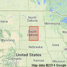
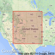
- Williston basin
- Sioux uplift
Summary:
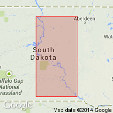
Also referred as Verendrye shale or zone. Named as a [informal?] subdivision of the Sully member (new) of Pierre formation for the exposure under and above the Verendrye Monument at Fort Pierre, Stanley Co, SD in the Williston basin. Measured type section in railroad cut and in cuts along U.S. Hwy 14 in vicinity of the Verendrye Monument where it consists of light- to medium-gray shale, weathering to brown and gray gumbo bands. Flattish olive-green, iron-carbonate concretions weathering brown to nearly black at intervals of 5-10 ft. One or two thin beds of bentonite 125 ft above base. Thickness 170-180 ft. Overlain by Virgin Creek member (new); underlain by Oacoma zone (new). Thickness varies from 88 ft near Wheeler, Charles Mix Co, SD on the Sioux arch, to more than 200 ft at Wendt on Bad River, Stanley Co, SD, in the Williston basin. Shows outcrop along the Missouri River Valley in SD in Williston basin and on Sioux uplift. Lists fossils. Cretaceous in age.
Source: GNU records (USGS DDS-6; Denver GNULEX).
- Usage in publication:
-
- Verendrye member
- Modifications:
-
- Revised
- AAPG geologic province:
-
- Sioux uplift
- Williston basin
Summary:
Raised to member rank as a subdivision of the Pierre shale in the Missouri River Valley, SD in the Williston basin and on the Sioux uplift. Formerly the Verendrye beds or zone of the Sully member of the Pierre formation (Searight, 1937; Gries, 1941). Underlain by the DeGrey member (new); overlain by the Virgin Creek member. Thickness at type locality in Stanley Co, SD in the Williston basin, given as about 160 ft. Age not discussed.
Source: GNU records (USGS DDS-6; Denver GNULEX).
- Usage in publication:
-
- Verendrye shale member
- Modifications:
-
- Biostratigraphic dating
- Overview
- AAPG geologic province:
-
- Williston basin
- Salina basin
Summary:
Changed to Verendrye shale. Member of the Pierre shale in central and west central SD and northeastern NE in the Williston and Salina basins. Shows ammonite zonation, and correlation with stratigraphic units in other parts of the western interior region. Late Cretaceous (Campanian) in age.
Source: GNU records (USGS DDS-6; Denver GNULEX).
For more information, please contact Nancy Stamm, Geologic Names Committee Secretary.
Asterisk (*) indicates published by U.S. Geological Survey authors.
"No current usage" (†) implies that a name has been abandoned or has fallen into disuse. Former usage and, if known, replacement name given in parentheses ( ).
Slash (/) indicates name conflicts with nomenclatural guidelines (CSN, 1933; ACSN, 1961, 1970; NACSN, 1983, 2005, 2021). May be explained within brackets ([ ]).