The National Geologic Map Database is migrating to a new infrastructure. We apologize for any service disruptions during this process.
|
|---|


- Usage in publication:
-
- Vaughn Gulch Limestone*
- Modifications:
-
- Named
- Biostratigraphic dating
- Dominant lithology:
-
- Limestone
- AAPG geologic province:
-
- Great Basin province
Summary:
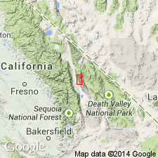
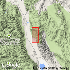
Named for exposures along Vaughn Gulch (tributary to Owens Valley near mouth of Mazourka Canyon) and the ridge to the north. Type section designated along ridge northwest of Vaughn Gulch in NE/4 sec.8 T13S R36E, Independence 15' quad, Inyo Co, CA. Exposed as belt extending from point about 2 mi southeast at Vaughn Gulch north for about 7 mi to Water Canyon. Terminated at south end by granitic intrusive body and fault. Is dominantly thin-bedded argillaceous and silty limestone which is generally medium- to dark-gray and blue. Bioclastic limestone, crowded with fragments of corals, sponges, bryozoans and pelmatozoans is most diagnostic lithology. Impure layers weather in shades of reds, orange, and yellow, and are less fossiliferous. Seven units distinguished at type section on basis of gross color differences and varying ratios of bioclastic limestone to argillaceous limestone. Black chert nodules and beds as thick as 3 in. are common in unit 7 near the top surface and scattered elsewhere. Thickness at type section is about 1500 ft. Base is placed above highest dolomite or massive chert of conformably underlying Ely Springs Dolomite. Contact with overlying Perdido Formation is erosional unconformity. Based on brachiopods and coelenterate age is late Niagara or early Cayuga (Silurian) (Waite, 1953).
Source: GNU records (USGS DDS-6; Menlo GNULEX).
- Usage in publication:
-
- Vaughn Gulch Limestone*
- Modifications:
-
- Age modified
- AAPG geologic province:
-
- Great Basin province
Summary:
Contains some fossils in uppermost beds that may be Devonian forms (C.W. Merriam, oral commun., 1969). Therefore, unit should be considered Silurian and Devonian(?) in age.
Source: GNU records (USGS DDS-6; Menlo GNULEX).
- Usage in publication:
-
- Vaughn Gulch Limestone*
- Modifications:
-
- Biostratigraphic dating
- AAPG geologic province:
-
- Great Basin province
Summary:
Type section of Vaughn Gulch Limestone is divided into lower, middle, and upper parts on basis of faunal distribution. However there is inconclusive paleontologic evidence of Early Devonian age for the 460-ft upper interval.
Source: GNU records (USGS DDS-6; Menlo GNULEX).
For more information, please contact Nancy Stamm, Geologic Names Committee Secretary.
Asterisk (*) indicates published by U.S. Geological Survey authors.
"No current usage" (†) implies that a name has been abandoned or has fallen into disuse. Former usage and, if known, replacement name given in parentheses ( ).
Slash (/) indicates name conflicts with nomenclatural guidelines (CSN, 1933; ACSN, 1961, 1970; NACSN, 1983, 2005, 2021). May be explained within brackets ([ ]).