- Usage in publication:
-
- Vandalia Till Member
- Modifications:
-
- Named
- Dominant lithology:
-
- Till
- AAPG geologic province:
-
- Illinois basin
Summary:
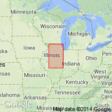
Vandalia till of Jacobs and Lineback (1969) is here formally proposed as Vandalia Till Member of Glasford Formation in IL and WI. Unit is a gray compact sandy till ranging in thickness from 7.5 to 15 m. Overlies Mulberry Grove Silt Member, Smithboro Till Member (of Glasford Formation) or Tilton Till Member (of Banner Formation). Underlies Hagarstown or Roby Silt Member (of Glasford Formation) or Batestown Till Member (of Wedron Formation). Age is Illinoian.
Source: GNU records (USGS DDS-6; Reston GNULEX).

- Usage in publication:
-
- Vandalia Till Member
- Modifications:
-
- Revised
- AAPG geologic province:
-
- Illinois basin
Summary:
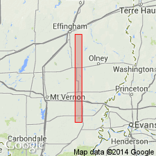
Glasford Formation in Effingham Co., IL, is divided into (ascending) Smithboro Till Member, Mulberry Grove Member, Fort Russell till facies of the Vandalia Till Member, and the Berry Clay Member. The Fort Russell has lithic parameters intermediate to that of the Smithboro and Vandalia Till Members. 23 ft of the Fort Russell till have been described by Kettles (1980) just west of the study area. This facies of the Vandalia is probably the dominant, uppermost Glasford till unit underlying most of Bishop Township.
Source: GNU records (USGS DDS-6; Reston GNULEX).

- Usage in publication:
-
- Vandalia Till Member
- Modifications:
-
- Overview
- AAPG geologic province:
-
- Illinois basin
Summary:
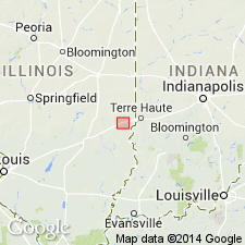
Glasford Formation is the study area includes the Smithboro Till Member, the Mulberry Grove Member, the Vandalia Till Member, and the Berry Clay Member. The Vandalia is the thickest and most widespread till unit in central IL. Consists of loam diamicton that regionally has a distinct particle-size distribution and clay mineralogy. The mineralogy of the fine sand fraction indicates that the Vandalia was deposited by the Lake Michigan Lobe of the Laurentide Ice Sheet. Two facies of the Vandalia are recognized at the Martinsville alternative site: a lower, uniform diamicton facies and an upper, melange facies. The first reaches 129.4 ft in thickness, but generally ranges from 15 to 40 ft. It is composed of loam diamicton, is characteristically massive, and contains sand and gravel layers as much as 18.5 ft thick. The melange facies is more than 23 ft thick in a nearby outcrop, and 30.3 ft beneath the Martinsville site. It is composed predominantly of loam diamicton, but contains numerous layers, lenses, and pods of sand and gravel and less commonly, well sorted, uniform silt. The Vandalia underlies the Pearl Formation in the study area, as the Berry Clay occurs within the top of the Pearl. Age is Pleistocene (Illinoian).
Source: GNU records (USGS DDS-6; Reston GNULEX).
For more information, please contact Nancy Stamm, Geologic Names Committee Secretary.
Asterisk (*) indicates published by U.S. Geological Survey authors.
"No current usage" (†) implies that a name has been abandoned or has fallen into disuse. Former usage and, if known, replacement name given in parentheses ( ).
Slash (/) indicates name conflicts with nomenclatural guidelines (CSN, 1933; ACSN, 1961, 1970; NACSN, 1983, 2005, 2021). May be explained within brackets ([ ]).

