The National Geologic Map Database is migrating to a new infrastructure. We apologize for any service disruptions during this process.
|
|---|


- Usage in publication:
-
- Van Duzer Limestone
- Modifications:
-
- Named
- Dominant lithology:
-
- Limestone
- AAPG geologic province:
-
- Great Basin province
Summary:
Pg. 20-21, 36 (table 1), pI. 1. Van Duzer Limestone. Massive- to thin-bedded limestone; shaly material increases in more thinly bedded strata; color blue-gray to nearly white. Thickness 5,000 to 7,000 feet. Overlies Storff Formation (new). Contact with upper plate of overthrust Western Assemblage is subparallel to strike of both the upper and lower plate rocks and trace of thrust fault in this area could be interpreted in places as an unconformable contact between Van Duzer Limestone and overthrust cherts and siliceous shales. Overlies Storff Formation (new) with apparent conformity. Age is Devonian(?), based on regional correlation.
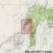
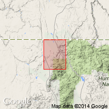
Type locality not designated. Named from Van Duzer Creek, a prominent stream flowing eastward from Bull Mountains in southern part of Owyhee 15-min quadrangle. Limestone forms a wide east-west band across the range and is present in northeast part of Bull Run 15-min quadrangle, Elko Co., northeastern NV.
Source: US geologic names lexicon (USGS Bull. 1350, p. 794); GNU records (USGS DDS-6; Menlo GNULEX).
- Usage in publication:
-
- Van Duzer Formation
- Modifications:
-
- Areal extent
- Dominant lithology:
-
- Limestone
- Argillite
- Quartz
- AAPG geologic province:
-
- Great Basin province
Summary:
Pg. 12 (table 2). Table 2 is a stratigraphic section of Mountain City 15-min quadrangle by E.C. Stephens (1946, unpub. rept.). The Van Duzer which consists mostly of well-bedded bluish-gray limestone with argillite members and narrow quartz lenses underlies Crosby Formation (new). Age is Paleozoic.
Source: US geologic names lexicon (USGS Bull. 1350, p. 794); GNU records (USGS DDS-6; Menlo GNULEX.
- Usage in publication:
-
- Van Duzer Limestone*
- Modifications:
-
- Areal extent
- Dominant lithology:
-
- Calcarenite
- Quartzite
- AAPG geologic province:
-
- Great Basin province
Summary:
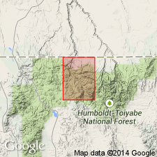
Van Duzer Limestone. Mapped in southeastern part of Owyhee 15-min quadrangle, Elko County, northeastern Nevada. Dominantly thin-bedded to very thin-bedded medium- to dark-gray calcarenite and guartzose calcarenite, locally grading to quartzite. Chertified calcareous beds are common. Total thickness about 7,000 feet. Overlies Valmy formation. Unconformably underlies Quaternary alluvium. Age is Devonian(?). Age is inferred from position in sequence of four formations. Upper limit is set by Mississippian(?) age of Roberts Mountains thrust.
Type section: ridge top in secs. 6 and 7, T. 44 N., R. 53 E.
Source: Modified from GNU records (USGS DDS-6; Menlo GNULEX).
For more information, please contact Nancy Stamm, Geologic Names Committee Secretary.
Asterisk (*) indicates published by U.S. Geological Survey authors.
"No current usage" (†) implies that a name has been abandoned or has fallen into disuse. Former usage and, if known, replacement name given in parentheses ( ).
Slash (/) indicates name conflicts with nomenclatural guidelines (CSN, 1933; ACSN, 1961, 1970; NACSN, 1983, 2005, 2021). May be explained within brackets ([ ]).