

- Usage in publication:
-
- Valleytown formation*
- Modifications:
-
- Named
- Dominant lithology:
-
- Schist
- Gneiss
- AAPG geologic province:
-
- Piedmont-Blue Ridge province
Summary:
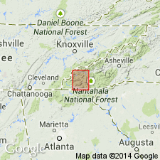
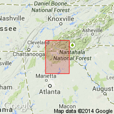
Valleytown formation, here named, consists predominantly of mica schist and fine-banded gneiss in vicinity of Valleytown, NC, and basin of Valley River. Northeastward to the Nantahala River, the amount of metamorphism becomes less. Mica schist gives way to mica slate and argillaceous slate and gneiss to graywacke and feldspathic sandstone. The mica schist passes downward into Brasstown schist, and individual layers of each formation cannot be distinguished from those of the other. In same region numerous beds of coarse quartzite and graywacke are to be seen. Near Hiwassee River the number and thickness of coarse beds are considerably less, and boundary separating this formation from Brasstown schist is very difficult to draw. At great bend of Nantahala River the amount of coarse material is very small and slates predominate. In each direction from that point the slates become less and less prominent. Thickness is 900 to 1,200 ft. Underlies Murphy marble.
Source: GNU records (USGS DDS-6; Reston GNULEX).
- Usage in publication:
-
- Valleytown formation*
- Modifications:
-
- Revised
- AAPG geologic province:
-
- Piedmont-Blue Ridge province
Summary:
The green phyllite, slate, and ottrelite-mica schist that overlie the Big Butt quartzite in the Murphy syncline were separated by Keith (1907) into Brasstown schist and Valleytown formation. Only locally is there lithologic criteria for separating these rocks into two formations. The phyllites and schists for the most part are closely folded and have prominently developed schistosity which obscures the bedding so that, on stratigraphic evidence available, they are not readily divisible. In this report, these two formations are treated as Valleytown formation, the more widely used name.
Source: GNU records (USGS DDS-6; Reston GNULEX).
- Usage in publication:
-
- Valleytown†
- Modifications:
-
- Abandoned
- AAPG geologic province:
-
- Piedmont-Blue Ridge province
Summary:
Following the suggestion of Hurst (1955), authors propose that the Valleytown be officially abandoned as the lower boundary of the unit has never been defined. Unit is impossible to distinguish from the underlying strata. Rocks are here assigned to the Brasstown Formation of the Hiwassee River Group (new name).
Source: GNU records (USGS DDS-6; Reston GNULEX).
For more information, please contact Nancy Stamm, Geologic Names Committee Secretary.
Asterisk (*) indicates published by U.S. Geological Survey authors.
"No current usage" (†) implies that a name has been abandoned or has fallen into disuse. Former usage and, if known, replacement name given in parentheses ( ).
Slash (/) indicates name conflicts with nomenclatural guidelines (CSN, 1933; ACSN, 1961, 1970; NACSN, 1983, 2005, 2021). May be explained within brackets ([ ]).