- Usage in publication:
-
- Vadito formation
- Modifications:
-
- Original reference
- Dominant lithology:
-
- Conglomerate
- Quartzite
- Schist
- Phyllite
- Amphibolite
- AAPG geologic province:
-
- Southern Rocky Mountain region
Summary:
Pg. 8 (fig. 2), 21-31, pl. 1. Vadito formation. In general it comprises lower conglomerate member -thickness about 2,000 feet, and upper schist member -thickness about 2,500 feet. Lower member consists of quartzite and conglomerate interlayered with flows and sills. Upper schist member consists of quartz schists, phyllites, and granulites interlayered with thick flows and sills of various kinds of amphibolite. Younger than Ortega formation in Picuris area. Intruded by Embudo granite (new). Age is Precambrian.
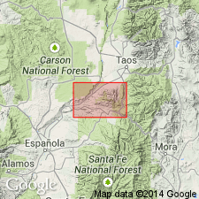
Named from village of Vadito, located near southeastern corner of Picuris [Mountains], and several mi south of excellent outcrops of rocks of this formation. Occurs in southern third of Picuris [Mountains], Taos Co., central northern NM. Best exposures within 1 mi radius of Harding mine.
Source: US geologic names lexicon (USGS Bull. 1200, p. 4039).

- Usage in publication:
-
- Vadito Formation
- Modifications:
-
- Geochronologic dating
- AAPG geologic province:
-
- San Luis basin
Summary:
Pg. 25, geologic time scale (inside front cover). Vadito Formation of Montgomery (1953). Conglomerate sample from near Harding Mine, [approx.] Lat. 36 deg. 11 min. N., Long. 105 deg. 47.5 min. W., Trampas quadrangle, Taos County, New Mexico, yielded a Pb-alpha age of 1,550 +/-175 Ma (zircon) [Precambrian X to Y]; reconnaissance age. Age published by Marvin (1968); recalculated using decay constants of Steiger and Jager, 1977 (Earth Planet. Sci. Letters, v. 36, p. 359-362).
Source: Publication.

- Usage in publication:
-
- Vadito Group
- Modifications:
-
- Revised
- Geochronologic dating
- AAPG geologic province:
-
- Southern Rocky Mountain region
Summary:
Pg. 46 (table 1), 48-49. Vadito Group. Sequence of immature quartzofeldspathic metasediments and dominantly felsic metavolcanic rocks stratigraphically underlying Ortega Formation, basal formation of Hondo Group, in the Picuris and Tusas Mountains of central northern New Mexico. In Tusas Mountains, divided into Big Rock and Burned Mountain Formations; in Picuris Mountains, divided into Marquenas Formation and Glenwoody Formations. The Big Rock is considered roughly = Marquenas.
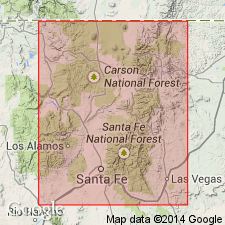
Name applied to regionally extensive supracrustal rocks predominately feldspathic schist, feldspathic gneiss, and metamorphosed clastic rocks. Identified in many Precambrian-cored uplifts in northern New Mexico [in Southern Rocky Mountain region]. Most distinctive component is quartz-muscovite-feldspar schist with quartz megacrysts. The schist is interlayered with metarhyolite, vitreous quartzite, muscovitic quartzite, meta-arkose, biotite-muscovite schist, pelitic schist, amphibolite, and chlorite schist. Not all parts of group are named. Two formations recognized in Tusas Mountains are Big Rock Formation in central part and Burned Mountain Formation in northern part. Two formations recognized in Picuris Mountains are Marquenas Formation in southern part and Glenwoody Formation (new) in northern part. Exposures at Kiowa [formerly Kiawa] Mountain probably are the best to show primary structures in the Vadito. Upper contact at Kiowa Mountain placed at base of lowest vitreous [quartzite] of Ortega Formation of Hondo Group (new). Lower contact of Vadito not recognized in New Mexico. Kiowa Mountain exposures in Rio Arriba County designated the principal reference section. Age is 1,700 Ma (U-Pb zircon method) or Early Proterozoic. Report includes geologic map, nomenclature chart.
Source: Modified from GNU records (USGS DDS-6; Denver GNULEX).
For more information, please contact Nancy Stamm, Geologic Names Committee Secretary.
Asterisk (*) indicates published by U.S. Geological Survey authors.
"No current usage" (†) implies that a name has been abandoned or has fallen into disuse. Former usage and, if known, replacement name given in parentheses ( ).
Slash (/) indicates name conflicts with nomenclatural guidelines (CSN, 1933; ACSN, 1961, 1970; NACSN, 1983, 2005, 2021). May be explained within brackets ([ ]).

